
Teddy’s Trailvia Snodgrass
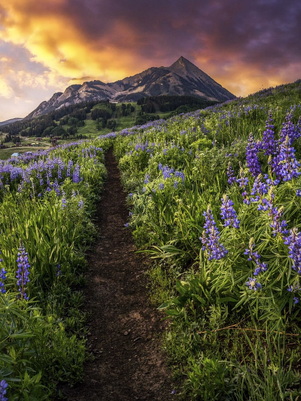
Teddy's Trail is one of the best choices for easily accessible and phenomenal views of Mt. Crested Butte, the Elk Mountains to the north, and breathtaking sunrises.
The hardest and steepest part is the approach on the Snodgrass Trail. Once on the trail, the short easy loop offers wildflower draped hillsides in summer and golden aspen groves in the fall. It also stays open when the other portion of Snodgrass Trail closes in late August.
At the Trailhead
Rain Showers
Tap a day for the detailed forecast

Trailhead Info
Good to Know
Under Control
Under control is the Forest Service rule on most trails in this district: your dog comes back on the first call, every time, including around wildlife, horses, and other dogs. If that is a maybe, it is a leash day. Rangers can and do write tickets for it.Avg 4G Cell Signal
The bars refer to cell tower connectivity. Calls, maps and photos all need one. Newer phones can now text (no calls) over satellite automatically without cell towers, depending on your provider. You typically need an open view of the sky for it to work.The Route
Highlights
Along the Trail
Trail Directions
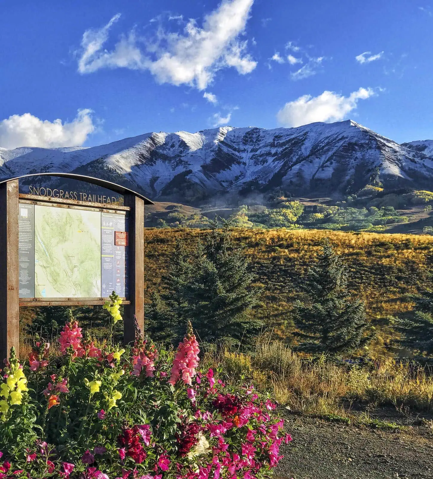
- From the trailhead sign (1), walk the steps over the fence (if the gate is closed) that lead you to the left side of the road. Follow the dirt road as it quickly ascends the hillside, providing wide vistas every look back. Wildflowers flourish here in the summertime.
- Teddy's Trail starts just after you walk the steps over the next barbed wire fence. Look for the sign on the right side of the trail (3).
- The trail forks into two trails, one for hikers and bikers, the other for horses (4). Stay on the hike/bike side.
- Enjoy views of the Gothic valley (5) as Teddy's wraps around hillsides draped with wildflowers (6).
- Continue along the single track, past a small pond (7), into aspen forests (8).
- Eventually the trail will split again (9). We recommend staying left; it is the more mellow trail. If you're up for an adventure, stay right for a steep climb back to Snodgrass Trail (10).
- Both trails meet back up with the Snodgrass Mountain trail (11). Follow the wide road back down to the parking lot (12).
Elevation Profile
Map and GPX
Base Map
Overlays
Cell Signal
Topo from USGS. Wilderness boundaries from the US Forest Service. Snow, temperature and rain are NOAA analyses and forecasts, one at a time. Cell coverage from FCC carrier filings.Take It With You
Cell service fades fast out here. Save the route before you lose the argument with your phone.
Free, and no account needed. Works in Gaia, CalTopo, onX, Garmin, and anything else that reads GPX.
Leave It Better
The locals have pitchforks. And camera phones.
And social media. Do not go viral.
 Pack Out the Poop
Bagged or not, poop left beside the trail is the one souvenir nobody wants. Bag it and carry it out; a full bag parked on a rock is just litter with handles.
 Stay on the Trail
Yield to hikers coming uphill and walk single file through the wet spots rather than around them. The vegetation up here takes years to recover from a shortcut that saves you nine seconds.
 Leave the Flowers
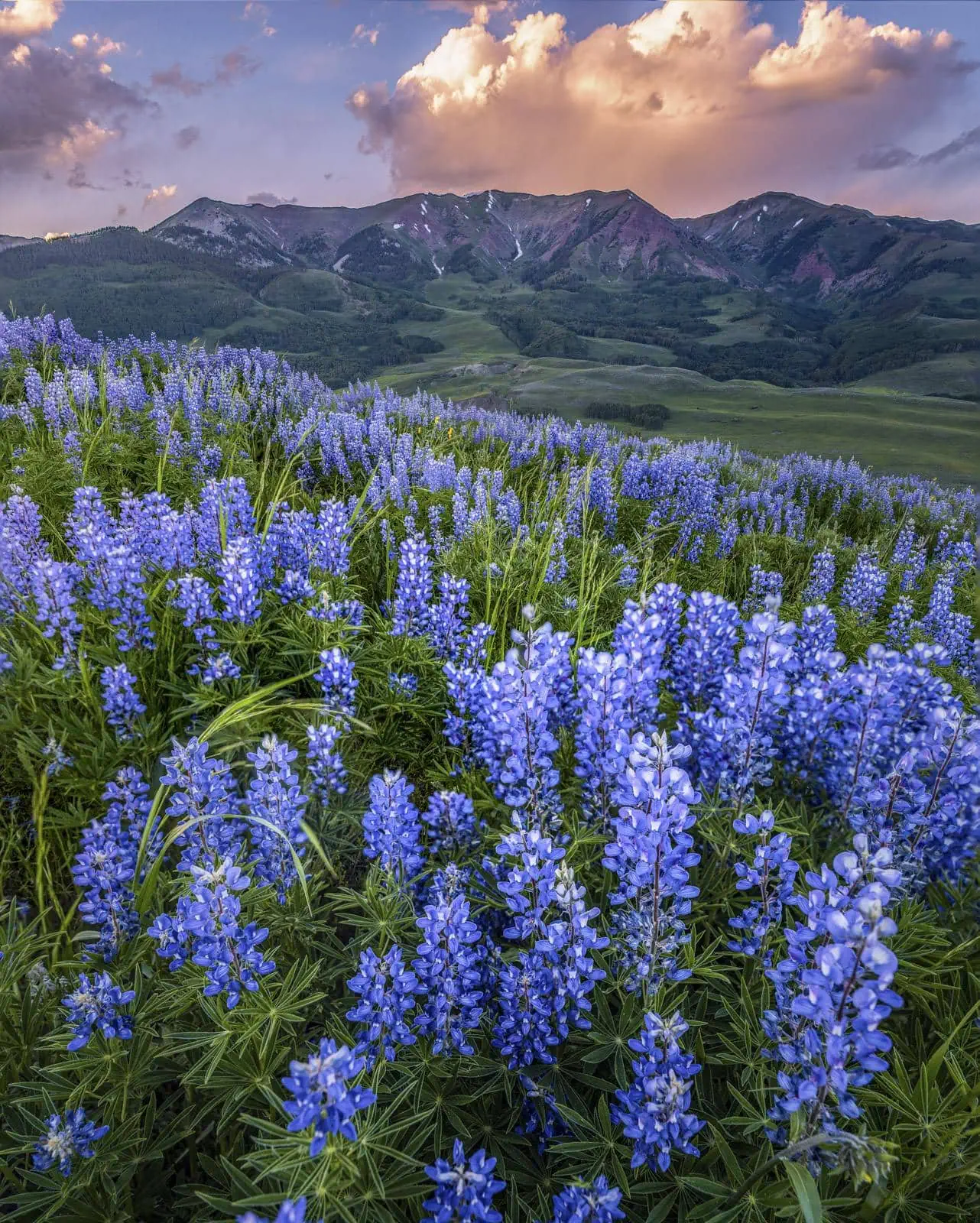
Do not pick, cut, or wade into them for the photograph. This valley is one of the best wildflower displays in Colorado precisely because generations of people walked past without helping themselves.
This trail and many others like it are maintained by the Crested Butte Conservation Corps. From picking up trash to trail maintenance to poop removal, they do it all and keep our backcountry pristine. Please help support them with a tax-deductible donation (501c3).

This Hike Is One of the 31
All 31 routes, walked and mapped by us. No battery, no bars, no problem.
Get the Book
More Wildflower Walks
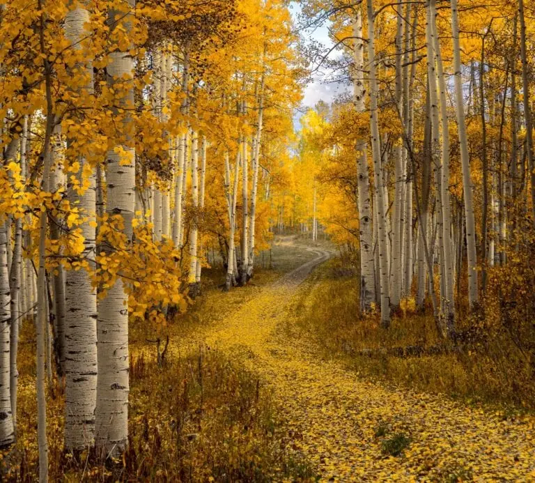
The bloom does not stop at this trailhead.


Good Questions
How long is Teddy's Trail?
About 1.9 miles from the Snodgrass lot and back, with 339 feet of climbing, most of it on the Snodgrass road in the first quarter mile. Plan on an hour, longer if the wildflowers are doing their thing.
Where does Teddy's Trail start?
At the Snodgrass trailhead on Gothic Road, 4.3 miles above town. Walk up the Snodgrass road for about a quarter mile; Teddy's leaves to the right at its own sign, loops, and rejoins the road.
Is Teddy's Trail good for kids and beginners?
Yes. The only steep part is the road climb at the start. Once on the loop it is gentle single track with wide views, an easy first hike for a family or for anyone still adjusting to 9,600 feet.
Are bikes and horses allowed on Teddy's Trail?
Yes. Teddy's is a multi-use trail and a popular beginner mountain bike loop. Bikers yield to horses, hikers, and uphill riders. Horses from Fantasy Ranch use the trail regularly, so give them room and leash your dog when they pass.
When is the best time to hike Teddy's Trail?
Late June through July for wildflowers, late September for the aspens. Sunrise and sunset are the local specialty, since the loop faces Mt. Crested Butte and the light does the rest.
Does Teddy's Trail close in late summer?
No. The upper Snodgrass Trail closes in late August for cattle grazing, but Teddy's stays open, which makes it the go-to loop in this corner from then until the snow.
Is there a bathroom or fee at the Snodgrass trailhead?
There is a portable toilet at the lot and no fee. Parking is paved and dirt along the road; it fills in peak summer, so start early or late in July.