
Snodgrass Mountain
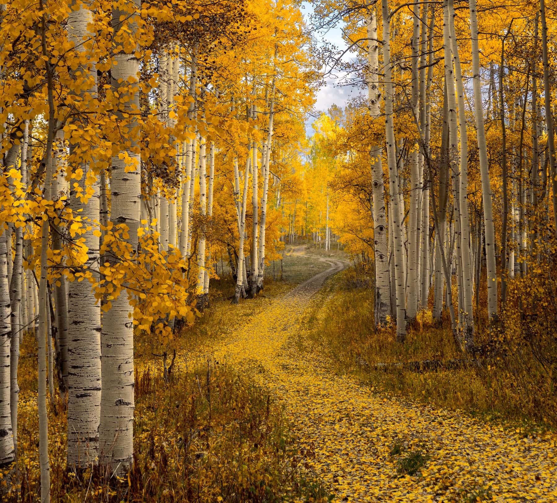
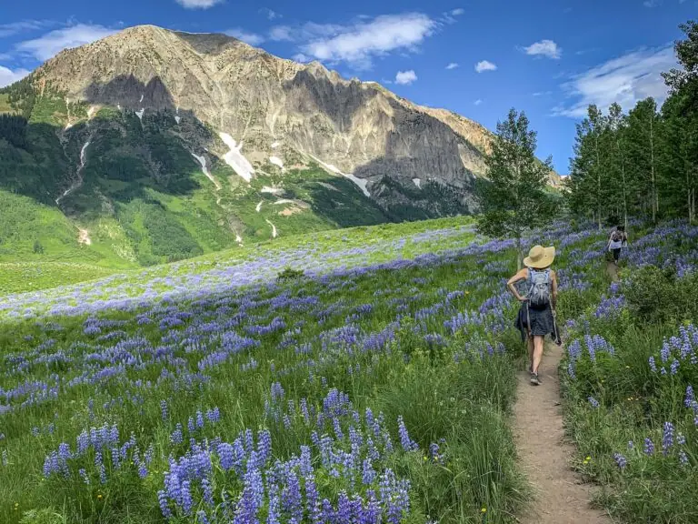
Snodgrass Mountain is an obvious top hiking choice in Crested Butte in every season: easy access, abundant wildflowers, fantastic aspen groves, and front row views of Mt. Crested Butte and the Elks to the north.
Some of the best views come from the steep first mile, and the aspen groves start right after it for a real fall foliage spectacle. It also stays open when the Snodgrass Trail closure arrives in August.
At the Trailhead
Partly Sunny
Tap a day for the detailed forecast

Trailhead Info
Good to Know
Under Control
Under control is the Forest Service rule on most trails in this district: your dog comes back on the first call, every time, including around wildlife, horses, and other dogs. If that is a maybe, it is a leash day. Rangers can and do write tickets for it.Avg 4G Cell Signal
The bars refer to cell tower connectivity. Calls, maps and photos all need one. Newer phones can now text (no calls) over satellite automatically without cell towers, depending on your provider. You typically need an open view of the sky for it to work.The Route
Highlights
Along the Trail
Trail Directions
- From the trailhead sign (1), walk the steps over the fence (if the gate is closed), that lead you to the left side of the road. Follow the dirt road as it quickly ascends the hillside, providing wide vistas every look back. Wildflowers flourish here in the summertime. Pass a dilapidated cabin on your right side (2) as you get closer to the aspens. The trail eventually splits, just after you walk the steps over the next barb wire fence. Stay to your right and follow the wide road into the thick aspen groves (3).
- Views of Gothic valley and its mountains are seen intermittently on the right side (4). If the views are what you came for, this is a fair turnaround point; the trail trades them for aspen shade from here up.
- Stay on the main trail up the mountain and ignore the trail junction marked "Snodgrass Trail 1/2 mile" (5) (this route can be taken down the mountain for an alternate route; if you choose to, take a left when you reach the connecting trail junction). The trail follows the main road all of the way up past the aspens and into more coniferous forest (6) to the summit. Pass a weather station about a quarter mile from the summit.
- The road dead ends at the top without much of a view, but if you follow the faint trail to the right into the brush for another 50 feet, peek out at some of the Elks. Turn around at any point to shorten the trip.
- The Snodgrass trail to Washington Gulch (the early junction to the left) closes seasonally, so be sure to stay off of this when indicated by the trailhead sign.
Elevation Profile
Map and GPX
Base Map
Overlays
Cell Signal
Topo from USGS. Wilderness boundaries from the US Forest Service. Snow, temperature and rain are NOAA analyses and forecasts, one at a time. Cell coverage from FCC carrier filings.Take It With You
Cell service fades fast out here. Save the route before you lose the argument with your phone.
Free, and no account needed. Works in Gaia, CalTopo, onX, Garmin, and anything else that reads GPX.

Leave It Better
The locals have pitchforks. And camera phones.
And social media. Do not go viral.
 Pack Out the Poop
Bagged or not, poop left beside the trail is the one souvenir nobody wants. Bag it and carry it out; a full bag parked on a rock is just litter with handles.
 Leave the Flowers
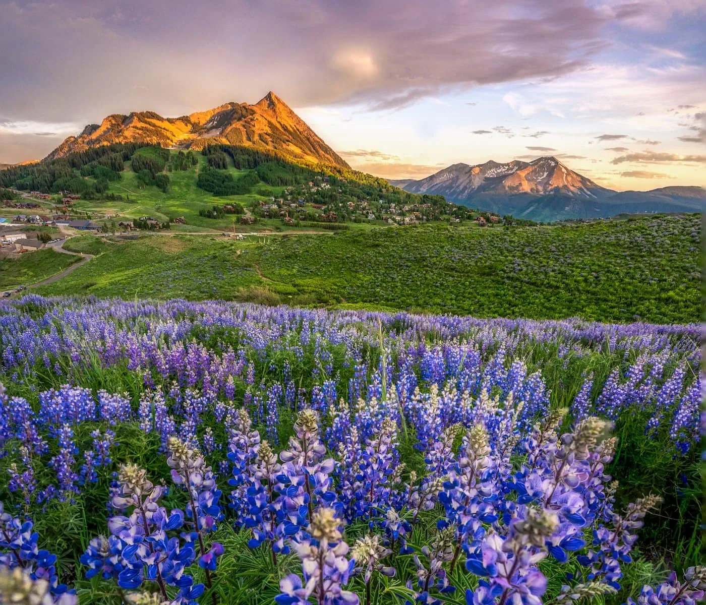
Do not pick, cut, or wade into them for the photograph. This valley is one of the best wildflower displays in Colorado precisely because generations of people walked past without helping themselves.
 Pack It All Out
Everything you carried in, plus the orange peel and the pistachio shells you assumed would rot. At this elevation they last years, and a marmot will find them long before they break down.
This trail and many others like it are maintained by the Crested Butte Conservation Corps. From picking up trash to trail maintenance to poop removal, they do it all and keep our backcountry pristine. Please help support them with a tax-deductible donation (501c3).

More Wildflower Walks
The bloom does not stop at this trailhead.


Good Questions
Is Snodgrass Mountain open during the Snodgrass Trail closure?
Yes. The seasonal ranch closure applies to the Snodgrass Trail traverse, not this summit route. This hike stays open when that closure arrives in August.
Do dogs need to be on a leash?
Voice control is the rule here. Cattle graze the lower slopes and Fantasy Ranch horses share the trail, so keep your dog close and leash up whenever either is near.
How hard is the hike?
Moderate. About 6 miles round trip with 1,400 feet of climbing, and the steepest work comes in the first mile. Most hikers take 3 to 4 hours.
When do the aspens turn?
September into early October, depending on the year. Our fall color updates page tracks the groves in real time.
Where do I park?
At the trailhead lot on Gothic Road, paved and dirt both. It fills in peak summer, but early or late starts find a spot even in July.