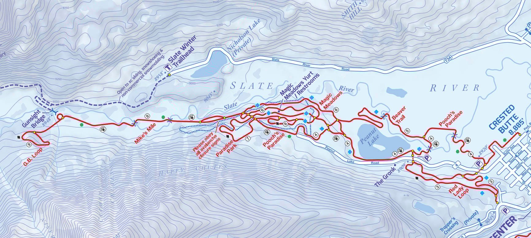
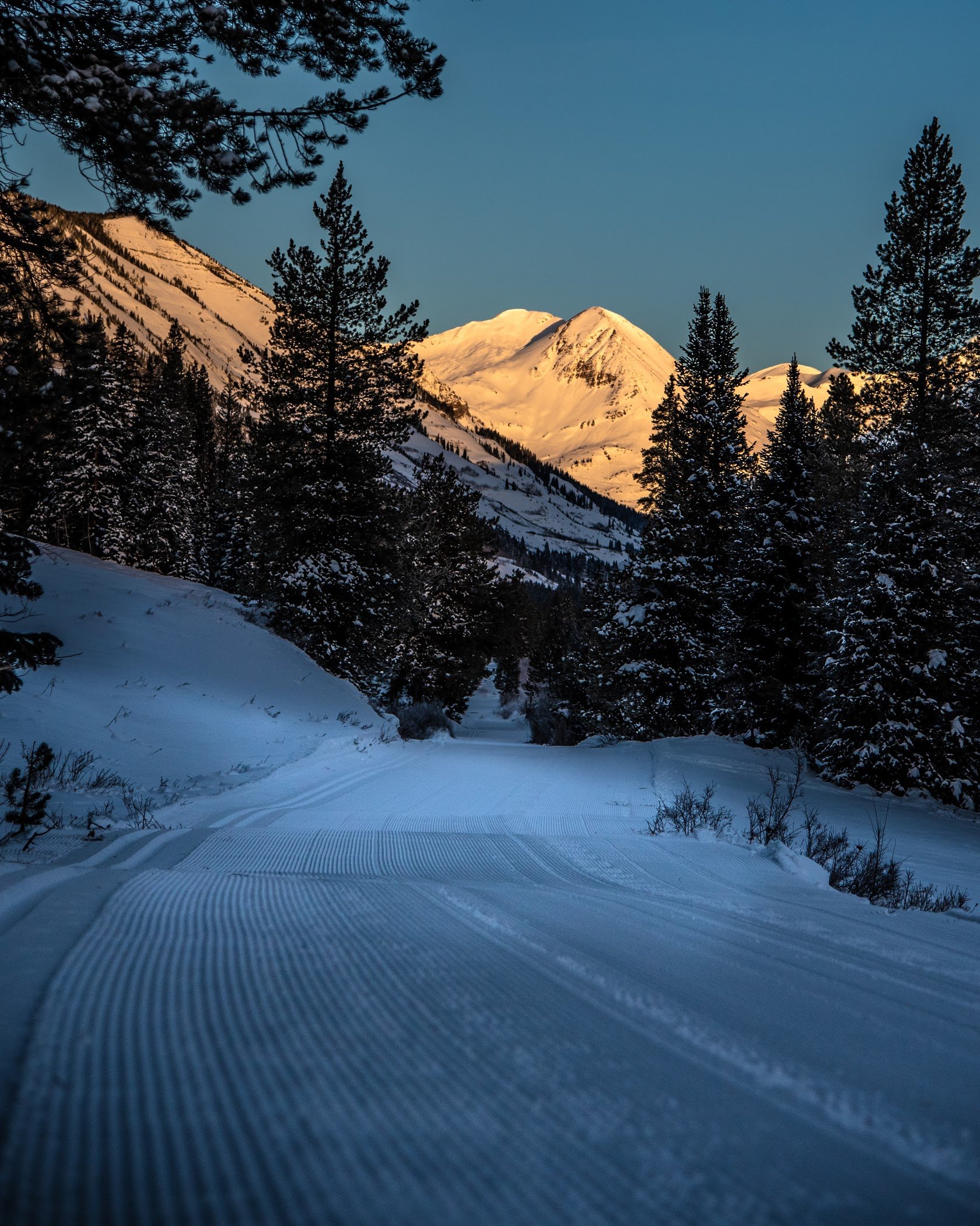
Mike’s Mile is an out and back trail that really is an extension of Pooch’s Paradise. It takes skiers and their four-legged friends all the way out the Slate River Valley to Gunsight Bridge. When the skies are clear, the views of Paradise Divide can't be beat! Mike’s Mile closes during storm cycles when avalanche danger is high.

| Highlights: | Aspen forest, mountain views, close to town |
| Activities: | XC ski, snowshoe with trail pass |
| Difficulty: | Mostly flat, easy |
| Length: | 1.4 miles (2.3k) |
| Approx. Time: | 25 minutes |
| Elevation Gain: | 100 ft |
| Trailhead Elevation: | 8,900 feet |
| Travel Time to TH: | 5 minute from town |
| Snow Machine Traffic: | None |
| Dog Friendly: | Yes with dog pass |
| Groomed: | Yes |
Click photos to view multi-sport gallery


")
")
Directions
Via Car: From Elk Ave head west towards the end of Elk. Take a right on 1st street and follow all the way down to the end then take a left on Butte Ave/Peanut Lake Road. Follow the road for a 1/2 mile around the corner past one parking area to the second parking area on the right. Map.
Via Ski: From the parking lot, follow Pooch's Paradise trail as it wraps around Peanut Lake road. Stay on Pooch's Paradise past a few trail junctions until you reach Mike's Mile.
Route
Mikes Mile is an easy trail to follow. Once on trail head down the Slate River Valley, cross two bridges, and finally arrive at Gunsight Bridge. Once at Gunsight you can turn around, head back on Mike's Mile, and make your way to the cozy trailside yurt where one can sit on the sunny deck and enjoy lunch (served there on Sundays, or bring your own!) If you're looking for more challenging terrain take a left at Gunsight Bridge and enjoy the steep but fun G.B. Loop. If you're looking different scenery on your way back, cross Gunsight Bridge and link up with the Slate River Winter Trail.

This is a dog friendly trail but dog passes are required, you can obtain these at the CB Nordic Center in town. Please pick up after your furry friends and help keep our trails clean.
Trail Map