Three Lakes Loopvia Lost Lake
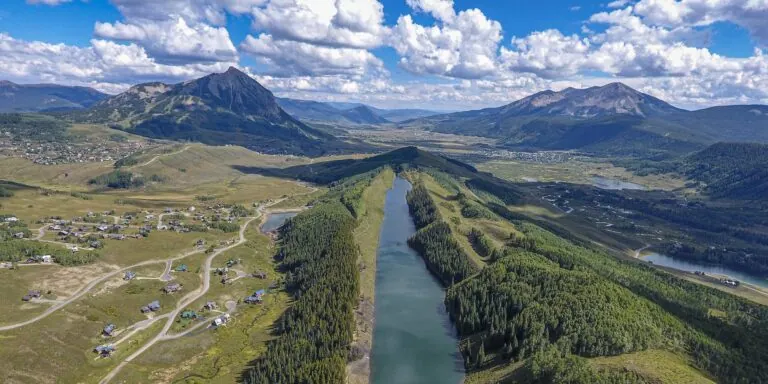
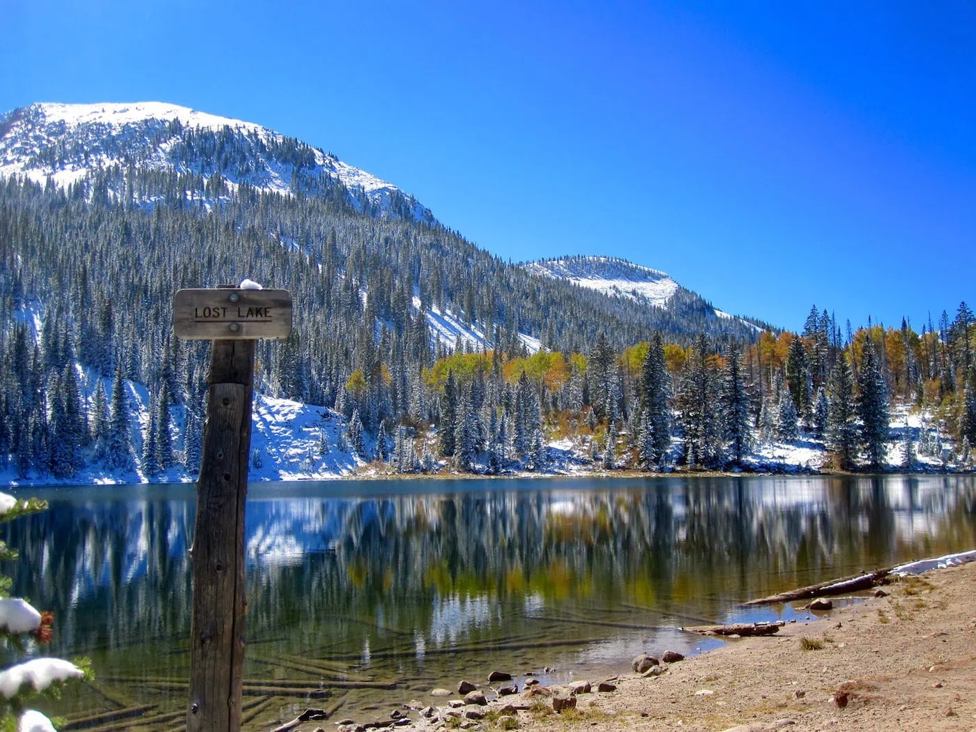
Three Lakes Loop visits Lost Lake Slough, Lost Lake, and Dollar Lake in three easy miles of trail west of Crested Butte in the Kebler Pass area. The lakes draw anglers, paddlers, and campers as much as hikers, along with some deer and moose who might want to share the path.
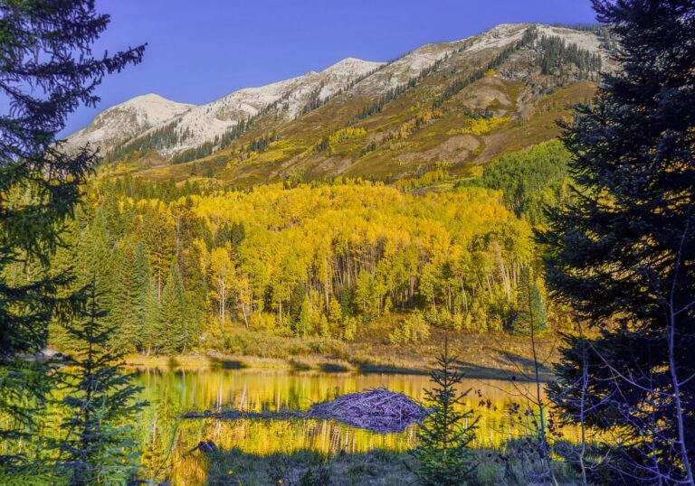
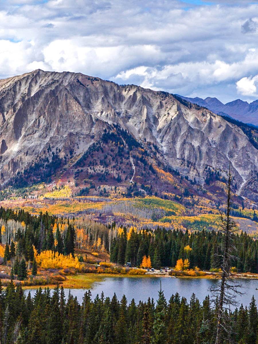
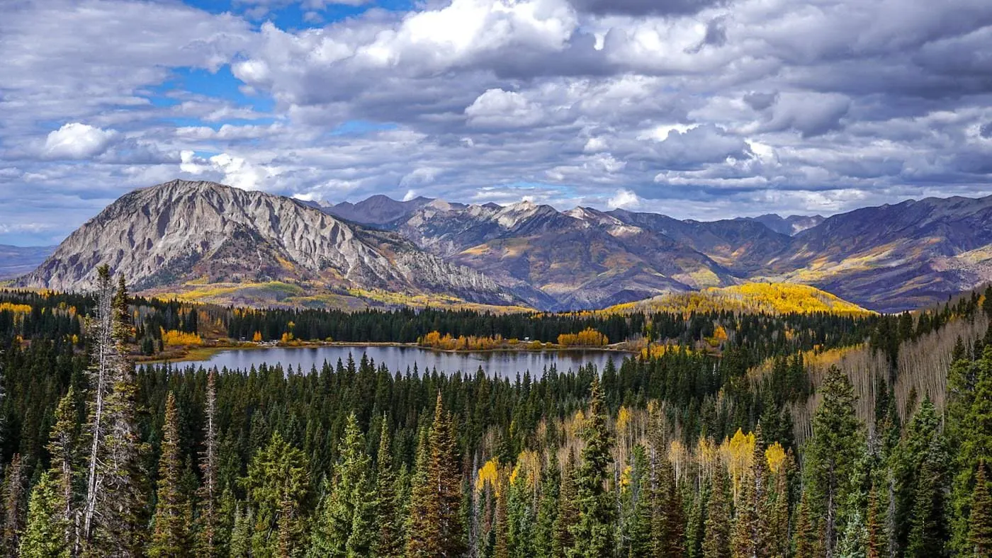
The full loop adds two fantastic viewpoints of the Ruby Range and Marcellina Mountain. There's also the perfect little waterfall "detour" on the route, which might make this the best short aspen hike in the area come fall.
At the Trailhead
Rain Showers
Tap a day for the detailed forecast


Trailhead Info
Good to Know
Under Control
Under control is the Forest Service rule on most trails in this district: your dog comes back on the first call, every time, including around wildlife, horses, and other dogs. If that is a maybe, it is a leash day. Rangers can and do write tickets for it.Avg 4G Cell Signal
The bars refer to cell tower connectivity. Calls, maps and photos all need one. Newer phones can now text (no calls) over satellite automatically without cell towers, depending on your provider. You typically need an open view of the sky for it to work.The Route
Highlights
Along the Trail
Trail Directions
- The gentle ascent to Lost Lake is a well marked trail (3) through thick forest. Aspen trees start to appear as you get closer to the lake. Reach a signed junction next to the lake (the Lost Lake is just behind/past the sign)(5). There a plenty of spots around the lake to enjoy the view. Come back to the signed junction and continue toward The Falls and Dollar Lake.
- In 0.1 miles there is a signed turnoff (8) to a nice little waterfall (definitely worth the very short detour). The best viewpoint a little further ahead after returning from the waterfall. Enjoy this grand vista of Ruby Range peaks and Marcellina Mountain (9). Continue on the trail to the next junction (10) and take the short trip to Dollar Lake. The path descends down to the lake (11), which is a great spot to grab a snack and enjoy the view. On the way back, keep an eye out for a fainter trail on the right (before reaching the junction), which leads to another fantastic viewpoint about 50 feet away [13]
- Turning right at the main trail junction, the trail will eventually descend down through the forest and around Lost Lake Slough back toward the parking area. Head back toward the campgrounds as the trail eventually turns into road, which you can follow to your vehicle. This loop can be hiked in the opposite direction, for a steeper approach to Dollar Lake.
Elevation Profile
Map and GPX
Base Map
Overlays
Cell Signal
Topo from USGS. Wilderness boundaries from the US Forest Service. Snow, temperature and rain are NOAA analyses and forecasts, one at a time. Cell coverage from FCC carrier filings.Take It With You
Cell service fades fast out here. Save the route before you lose the argument with your phone.
Free, and no account needed. Works in Gaia, CalTopo, onX, Garmin, and anything else that reads GPX.

Leave It Better
The locals have pitchforks. And camera phones.
And social media. Do not go viral.
 Mind the Shoreline
Bank vegetation holds the edge of an alpine lake together and it gives up under repeated boots. Launch and land where the ground is already bare, and keep lunch out of the willows.
 Wait Out the Mud
If the trail is mud, turn around. A footprint pressed into spring mud hardens into a rut that lasts all summer, and walking around the puddle only makes the puddle wider. The trail will still be here Thursday.
 Pack It All Out
Everything you carried in, plus the orange peel and the pistachio shells you assumed would rot. At this elevation they last years, and a marmot will find them long before they break down.
This trail and many others like it are maintained by the Crested Butte Conservation Corps. From picking up trash to trail maintenance to poop removal, they do it all and keep our backcountry pristine. Please help support them with a tax-deductible donation (501c3).

This Hike Is One of the 31
All 31 routes, walked and mapped by us. No battery, no bars, no problem.
Get the Book
More Alpine Lakes
Pick your placid pools.