
Scarp RidgeMiddle Loop
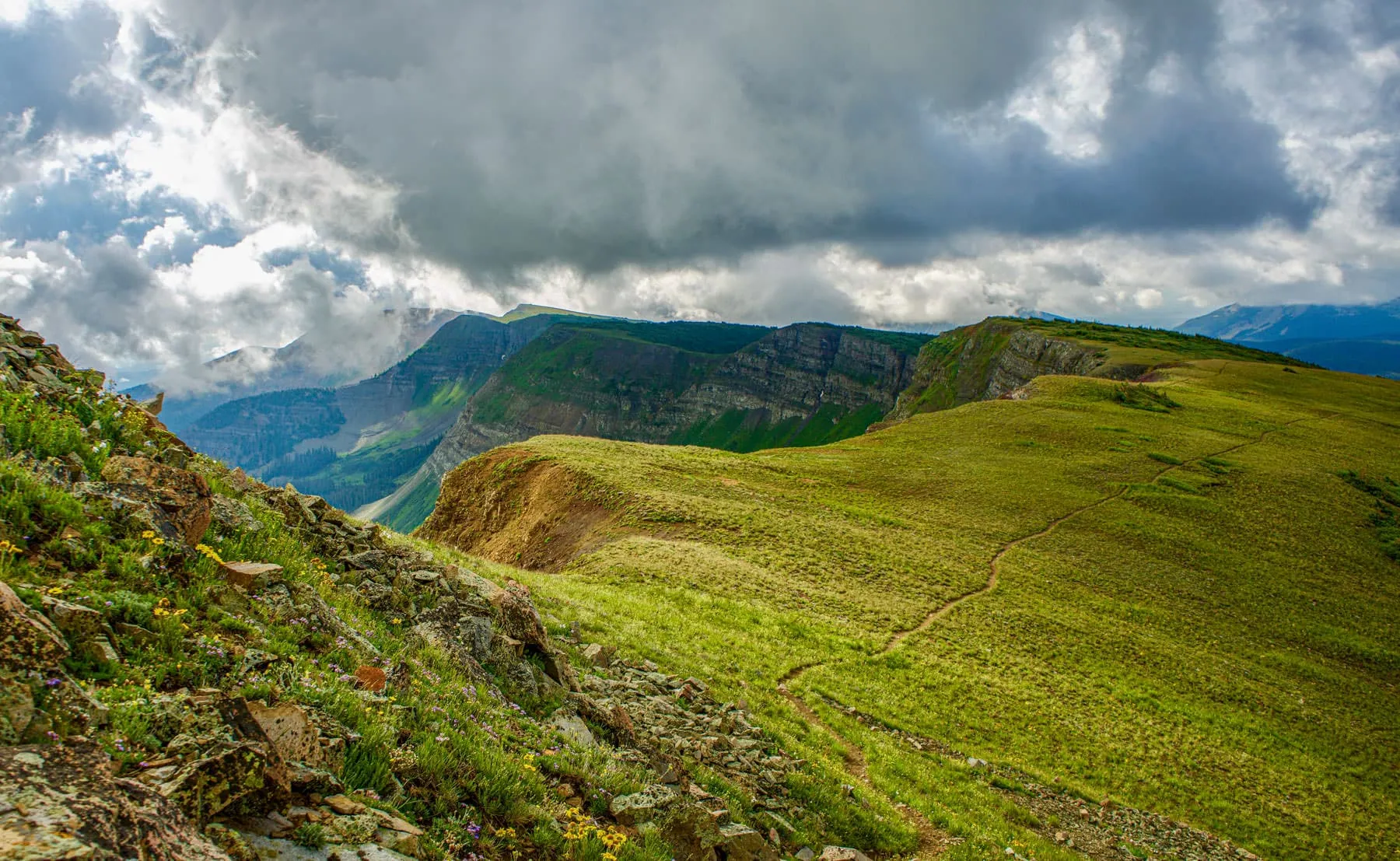
Scarp Ridge Middle Loop is the most direct way onto Crested Butte's best ridgeline. It climbs steep wildflower hillsides from above Lake Irwin straight to the ridge top.
As you catch your breath at over 12,000 feet, take in the views of Blue and Peeler lakes sitting a thousand feet below. The Ruby Range and most of the surrounding peaks, Crested Butte included, are visible as well. A truly rewarding ascent.
At the Trailhead
Rain Showers
Tap a day for the detailed forecast


Trailhead Info
Good to Know
Under Control
Under control is the Forest Service rule on most trails in this district: your dog comes back on the first call, every time, including around wildlife, horses, and other dogs. If that is a maybe, it is a leash day. Rangers can and do write tickets for it.Avg 4G Cell Signal
The bars refer to cell tower connectivity. Calls, maps and photos all need one. Newer phones can now text (no calls) over satellite automatically without cell towers, depending on your provider. You typically need an open view of the sky for it to work.The Route
Highlights
Along the Trail
Trail Directions
- From the trailhead the wildflowers run all over these hillsides. At the first junction near the start, bear left (3). The trail gets steep right away as it climbs the hill.
- The next junction arrives as the terrain levels out. Take the trail to the right of the large cairn (5) and continue across the rock slab, heading east. Go left here and you are on the western approach instead.
- Climb through wildflower meadows (7) toward the ridgeline. Look back for Lake Irwin and the Anthracite Range (8). Go left at the next junction, northwest, as the trees get stunted. The ridge top is another .3 miles.
- Follow the ridgeline (10) as the trail fades in and out. You will cross the unmarked main trail from the lodge, which is the return route, but continue ahead to the summit. A wooden post marks it (11). Mt. Owen and Ruby Peak to the left, Blue Lake below Afley Purple Peak ahead, Oh Be Joyful Basin below to the right.
- Turn around and take the main route downhill to the right (14). The views hold all the way down the steep hill to the lodge (15).
Elevation Profile
Map and GPX
Base Map
Overlays
Cell Signal
Topo from USGS. Wilderness boundaries from the US Forest Service. Snow, temperature and rain are NOAA analyses and forecasts, one at a time. Cell coverage from FCC carrier filings.Take It With You
Cell service fades fast out here. Save the route before you lose the argument with your phone.
Free, and no account needed. Works in Gaia, CalTopo, onX, Garmin, and anything else that reads GPX.
Stay the Night
 Nordic Inn
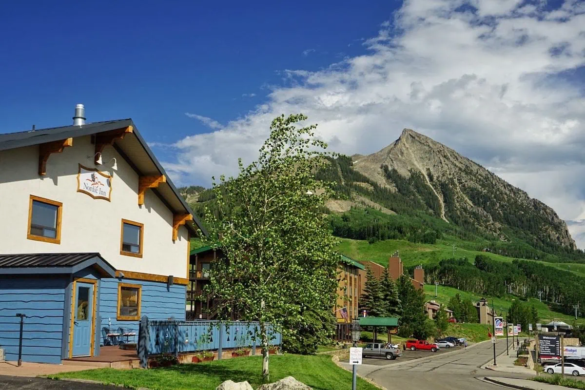
European-style inn at the base of the lifts, and a straight run out Kebler Pass Road to Lake Irwin from there. The hot tub is the reason to book it: 1,500 feet of climbing and a 12,200 foot ridge leave you wanting one. Continental breakfast, pet-friendly rooms, and a lounge with a fireplace and a self-dispensing bar for the stories afterward.
Check AvailabilityLeave It Better
The locals have pitchforks. And camera phones.
And social media. Do not go viral.
 Stay on the Trail
Yield to hikers coming uphill and walk single file through the wet spots rather than around them. The vegetation up here takes years to recover from a shortcut that saves you nine seconds.
 Leave the Flowers
Do not pick, cut, or wade into them for the photograph. This valley is one of the best wildflower displays in Colorado precisely because generations of people walked past without helping themselves.
 Pack It All Out
Everything you carried in, plus the orange peel and the pistachio shells you assumed would rot. At this elevation they last years, and a marmot will find them long before they break down.
This trail and many others like it are maintained by the Crested Butte Conservation Corps. From picking up trash to trail maintenance to poop removal, they do it all and keep our backcountry pristine. Please help support them with a tax-deductible donation (501c3).

This Hike Is One of the 31
All 31 routes, walked and mapped by us. No battery, no bars, no problem.
Get the Book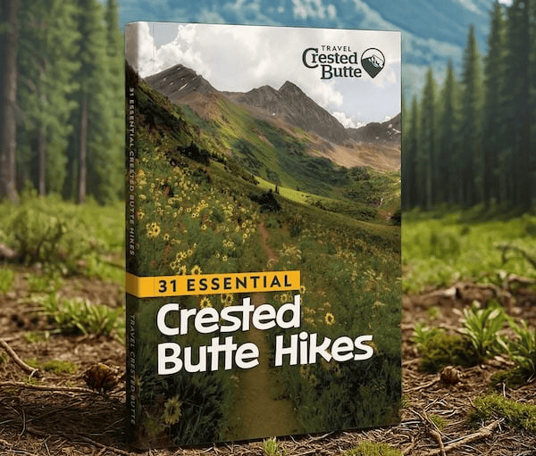
More Summits
Different tops, same thin air.


Good Questions
How hard is the Scarp Ridge Middle Loop?
It is a strenuous 4.3 mile loop that climbs about 1,576 feet, most of it in the first two miles. The trailhead already sits at 10,712 feet and the ridge tops out near 12,200, so the altitude does as much work as the grade. Counter-clockwise, which is the way this guide describes it, puts the gentler climb on the way up.
How do I get to the Scarp Ridge trailhead?
Take Kebler Pass Road west from Crested Butte, then the Lake Irwin turnoff, and continue past the campground and the lake toward the Lake Irwin Lodge. The last stretch of road is rough enough to want high clearance and four wheel drive.
Is there parking at the Scarp Ridge trailhead?
There is no parking lot, only a few pull-offs on the road below the lodge. On a busy weekend, or in a vehicle that is not up to the road, park at Lake Irwin and walk up, which adds roughly 1.5 miles each way.
Can you hike Scarp Ridge with dogs?
Yes. Dogs are allowed under control, and the ridge is open country with plenty of room to keep them near you. Water is scarce on the climb, so carry enough for the dog as well as yourself.
What is the best time of year to hike Scarp Ridge?
Mid July through September. Snow lingers high on the ridge into early summer, and the wildflower hillsides this loop is known for peak in July. Afternoon thunderstorms build fast above treeline, so start early.