
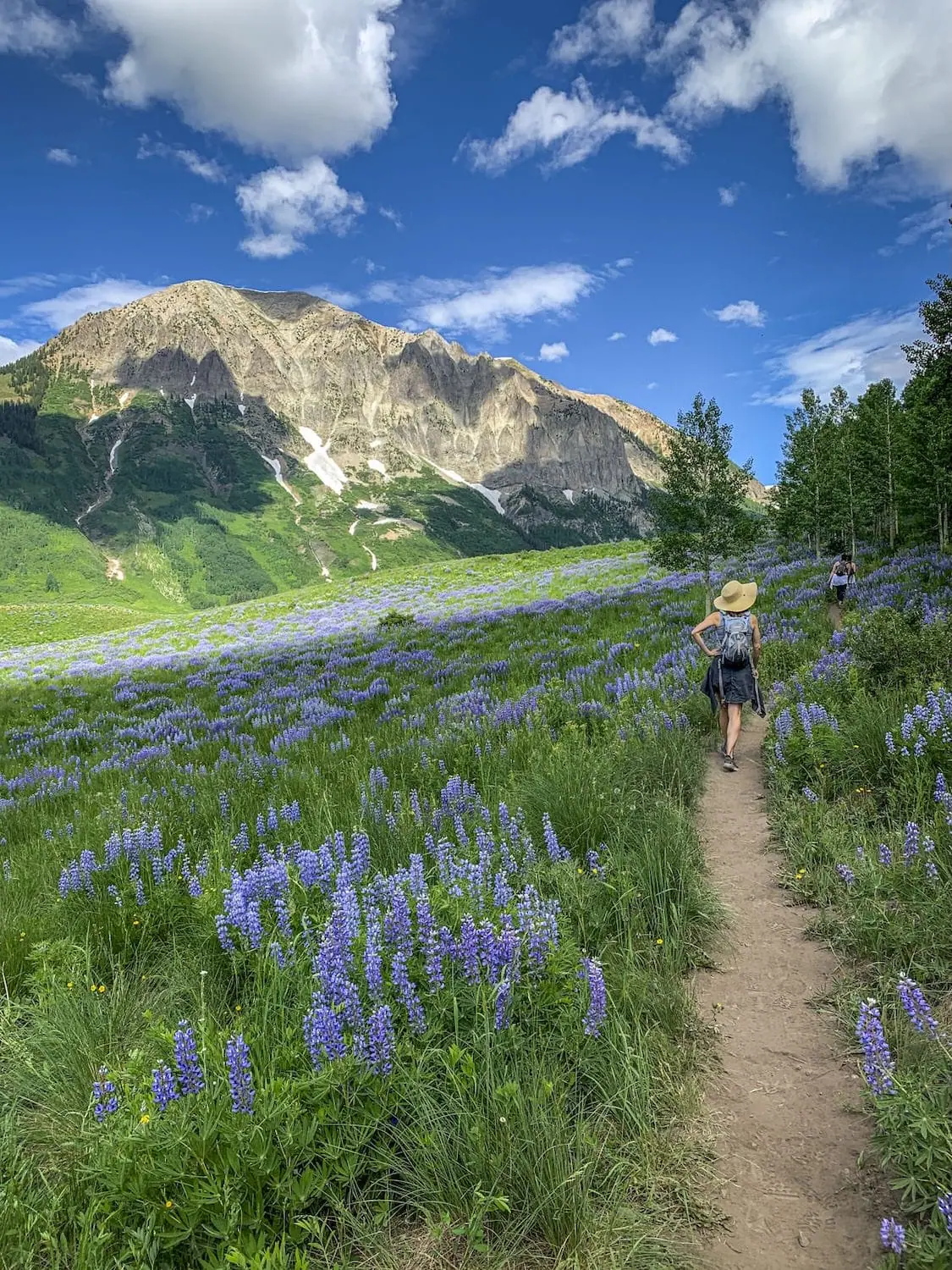
Deer Creek Trailvia Gothic Valley
The full Deer Creek Trail runs nine miles a side through cattle country, aspen groves, and open ridgelines between the Gothic valley and Crested Butte's east side. With a shuttle vehicle at the far end it becomes one of the valley's great point to point days. Without one, the viewpoint version delivers most of the reward, starting on the Gothic side.
At the Trailhead
Rain Showers
Tap a day for the detailed forecast

Trailhead Info
Good to Know
Under Control
Under control is the Forest Service rule on most trails in this district: your dog comes back on the first call, every time, including around wildlife, horses, and other dogs. If that is a maybe, it is a leash day. Rangers can and do write tickets for it.Avg 4G Cell Signal
The bars refer to cell tower connectivity. Calls, maps and photos all need one. Newer phones can now text (no calls) over satellite automatically without cell towers, depending on your provider. You typically need an open view of the sky for it to work.The Route
Highlights
Along the Trail
Trail Directions
- Start out on the winding, easy trail passing other cattle trails. Do not take the first cattle trail left. Take the second left to remain on the correct trail. The main trail is established and more distinct than any other trails you'll pass along the way.
- The views start to open up with Gothic Mountain dominating the west (1). Aspen forest is less than a mile away as you continue to ascend (2).
- Enjoy views of the entire valley at the top of the hill with Crested Butte on your left, Snodgrass Mountain directly ahead, and Gothic to the right (4). This is the point to turn around for the Out and Back route at nearly 3.5 miles.
- The high point is close to 7 miles in and offers a dramatic drop-off into a drainage with ski runs of Crested Butte Mountain Resort in full view.
- The rest of the trail descends into a heavily forested area, where you'll soon pass a mountain bike fence (10). The last 1/3 mile of the trail ascends slightly to a signed trailhead and parking area (13).
Elevation Profile
Map and GPX
Base Map
Overlays
Cell Signal
Topo from USGS. Wilderness boundaries from the US Forest Service. Snow, temperature and rain are NOAA analyses and forecasts, one at a time. Cell coverage from FCC carrier filings.Take It With You
Cell service fades fast out here. Save the route before you lose the argument with your phone.
Free, and no account needed. Works in Gaia, CalTopo, onX, Garmin, and anything else that reads GPX.

Leave It Better
The locals have pitchforks. And camera phones.
And social media. Do not go viral.
 Share the Trail
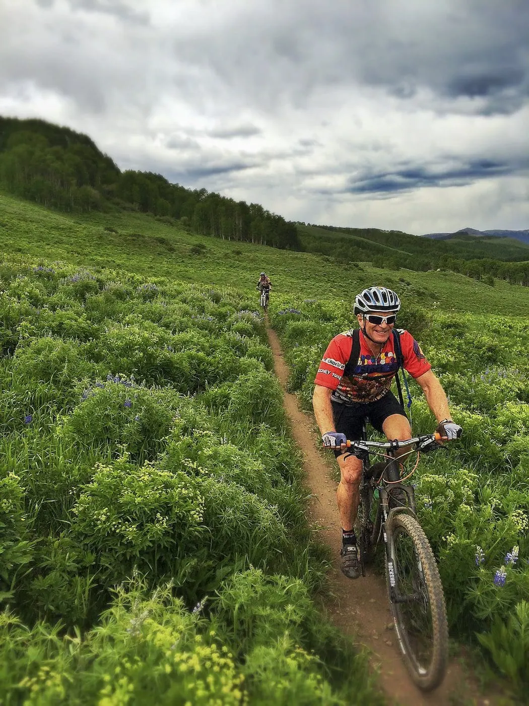
Bikes yield to hikers and everybody yields to horses, but the system really runs on predictability. Hold your line, step to the same side, keep dogs close, and say hello. A surprise is the only thing out here that causes a wreck.
 Leave the Flowers
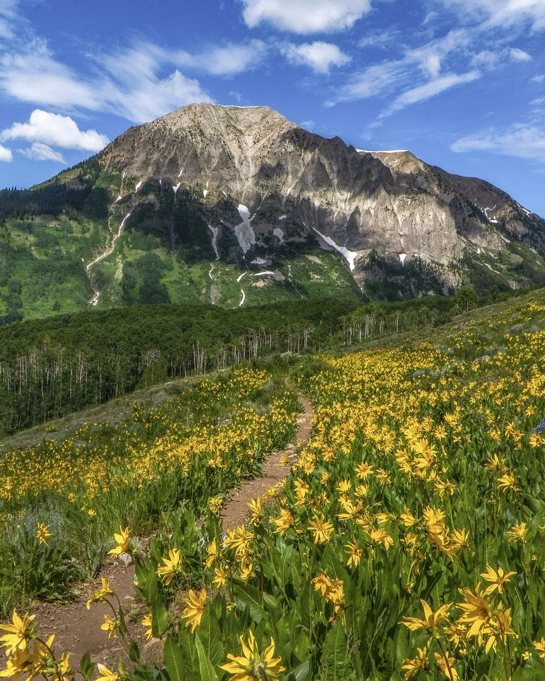
Do not pick, cut, or wade into them for the photograph. This valley is one of the best wildflower displays in Colorado precisely because generations of people walked past without helping themselves.
 Pack It All Out
Everything you carried in, plus the orange peel and the pistachio shells you assumed would rot. At this elevation they last years, and a marmot will find them long before they break down.
This trail and many others like it are maintained by the Crested Butte Conservation Corps. From picking up trash to trail maintenance to poop removal, they do it all and keep our backcountry pristine. Please help support them with a tax-deductible donation (501c3).

No Shuttle, No Problem
Similar scenery, no logistics: out and back trails near this one.


Good Questions
Do I need a shuttle for the Deer Creek Trail?
For the full 9.1 mile point to point, yes. It runs between the Gothic valley and the east side of Crested Butte, so you need a vehicle at each end. Without one, hike to the viewpoint and back from the Gothic side, 6.9 miles round trip.
How far is it to the Deer Creek viewpoint?
About 3.5 miles each way, 6.9 miles round trip, with 1,394 feet of elevation gain. Plan on 3.5 hours.
Where does the Deer Creek Trail start?
On the Gothic side: take Gothic Road north past the ski area onto the dirt, cross the East River bridge, and turn right at the Deer Creek Trail sign. The trailhead is 0.75 miles up a dirt road that can be muddy in spring, with limited parking.
Are mountain bikes allowed on the Deer Creek Trail?
Yes. It is a shared trail, and downhill bike traffic is the main hazard on summer afternoons. Listen for riders and step aside early.
How hard is the Deer Creek Trail?
Rated moderate. The grade is gentle, 1,909 feet over 9.1 miles, but the full trail is a 4.5 hour day. The viewpoint version carries the same rating with less distance.