

Brush Creek
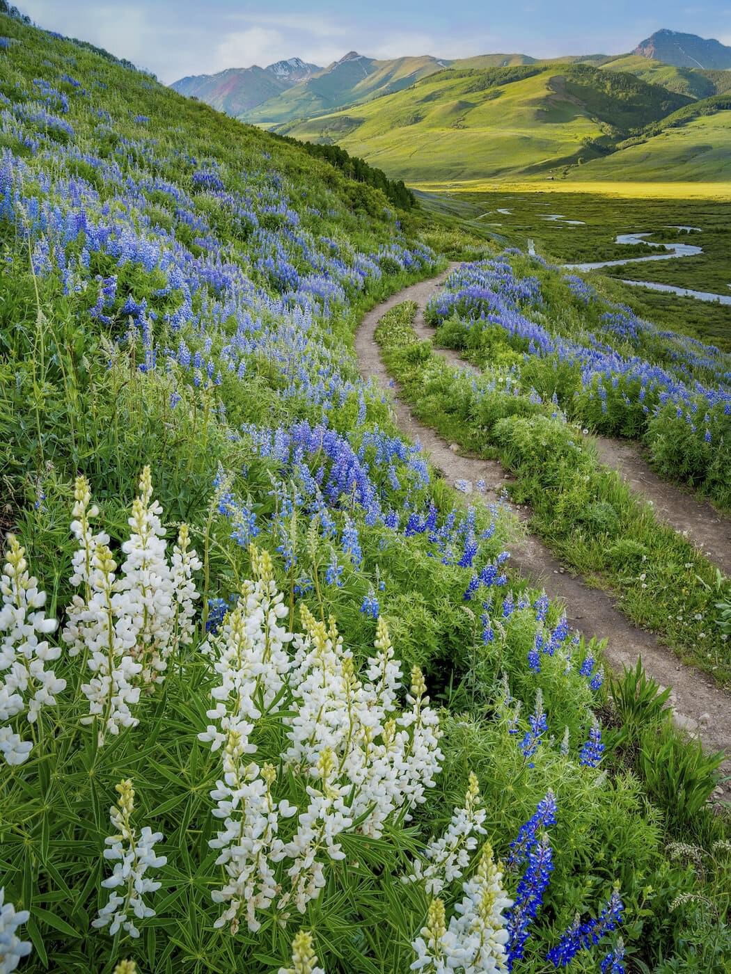
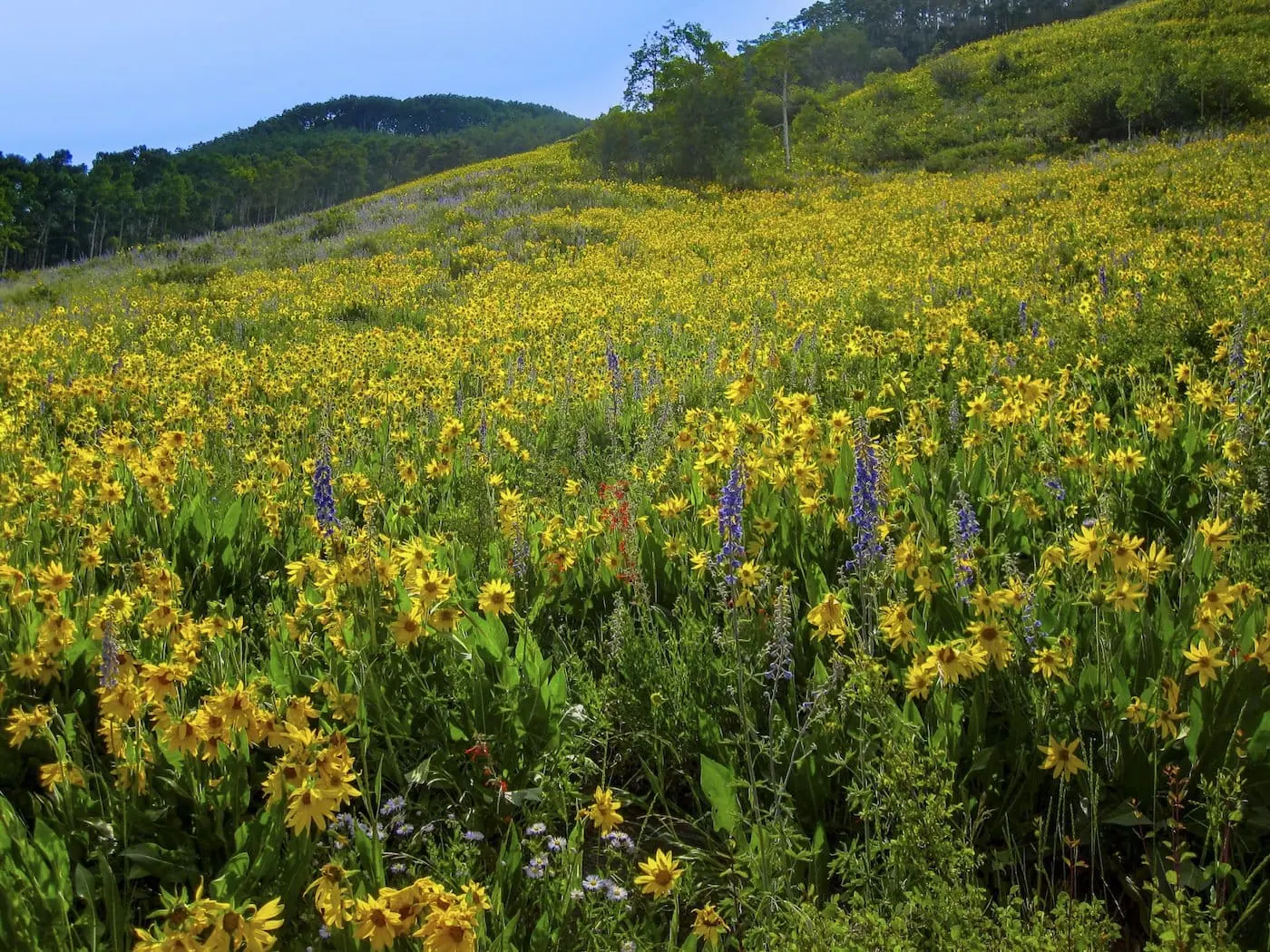
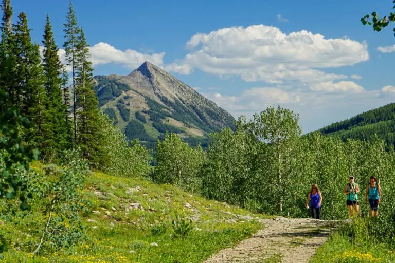
Brush Creek is a gentle old ranch road ten minutes from downtown Crested Butte, with Aspen sunflower blanketing entire hillsides in summer and Teocalli Mountain holding the skyline the whole way. The easy grade and low start make it a smart first day for anyone arriving from sea level.
There is almost no shade and midsummer brings out the bugs with ambition, so don't forget your sunscreen and bug spray. It's also a favorite for dog walks, which works best when everyone packs out what their pooch leaves behind.
At the Trailhead
Mostly Sunny
Tap a day for the detailed forecast


Trailhead Info
Good to Know
Under Control
Under control is the Forest Service rule on most trails in this district: your dog comes back on the first call, every time, including around wildlife, horses, and other dogs. If that is a maybe, it is a leash day. Rangers can and do write tickets for it.Avg 4G Cell Signal
The bars refer to cell tower connectivity. Calls, maps and photos all need one. Newer phones can now text (no calls) over satellite automatically without cell towers, depending on your provider. You typically need an open view of the sky for it to work.The Route
Trail Directions
- From the parking lot, the wide trail heads straight into open meadow, with views across the East River Valley from the first minute.
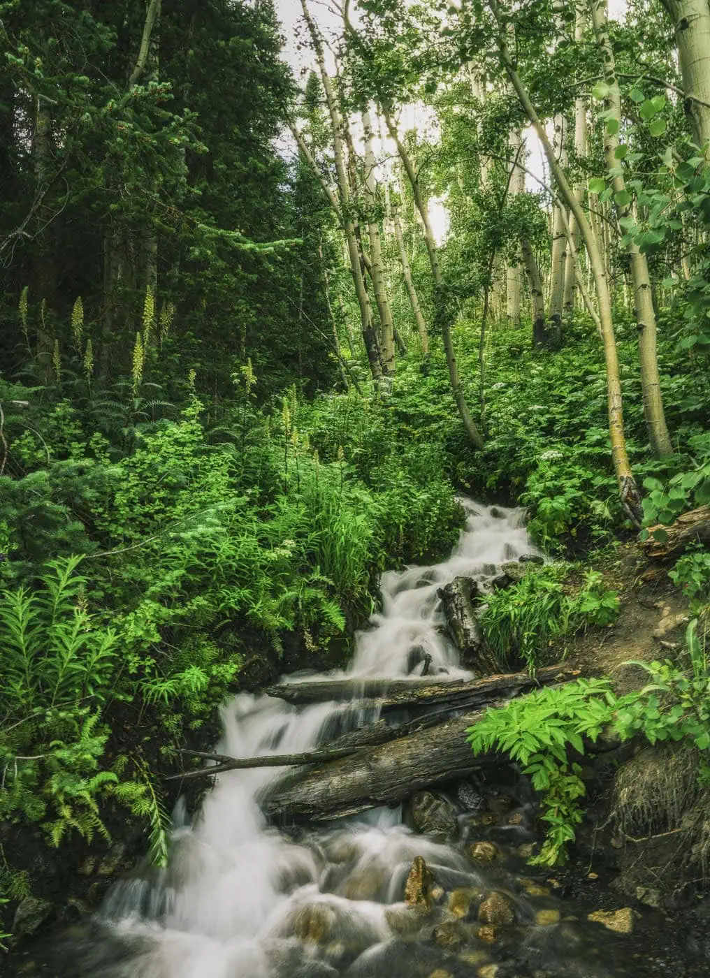
- Expect a few small creek crossings depending on the season, usually not more than a trickle. Toward the middle you pass through a couple of small aspen groves, along with a pretty little waterfall when it is flowing.
- The trail rolls gently along the hillside. This is an out and back, so turn around wherever the views feel complete.
- On a bike this is a friendly beginner ride. The rocks and creek crossings keep you honest, and the climb back up from the valley floor is the one real effort.
Elevation Profile
Map and GPX
Base Map
Overlays
Cell Signal
Topo from USGS. Wilderness boundaries from the US Forest Service. Snow, temperature and rain are NOAA analyses and forecasts, one at a time. Cell coverage from FCC carrier filings.Take It With You
Cell service fades fast out here. Save the route before you lose the argument with your phone.
Free, and no account needed. Works in Gaia, CalTopo, onX, Garmin, and anything else that reads GPX.

Leave It Better
The locals have pitchforks. And camera phones.
And social media. Do not go viral.
 Pack Out the Poop
Bagged or not, poop left beside the trail is the one souvenir nobody wants. Bag it and carry it out; a full bag parked on a rock is just litter with handles.
 Leave the Flowers
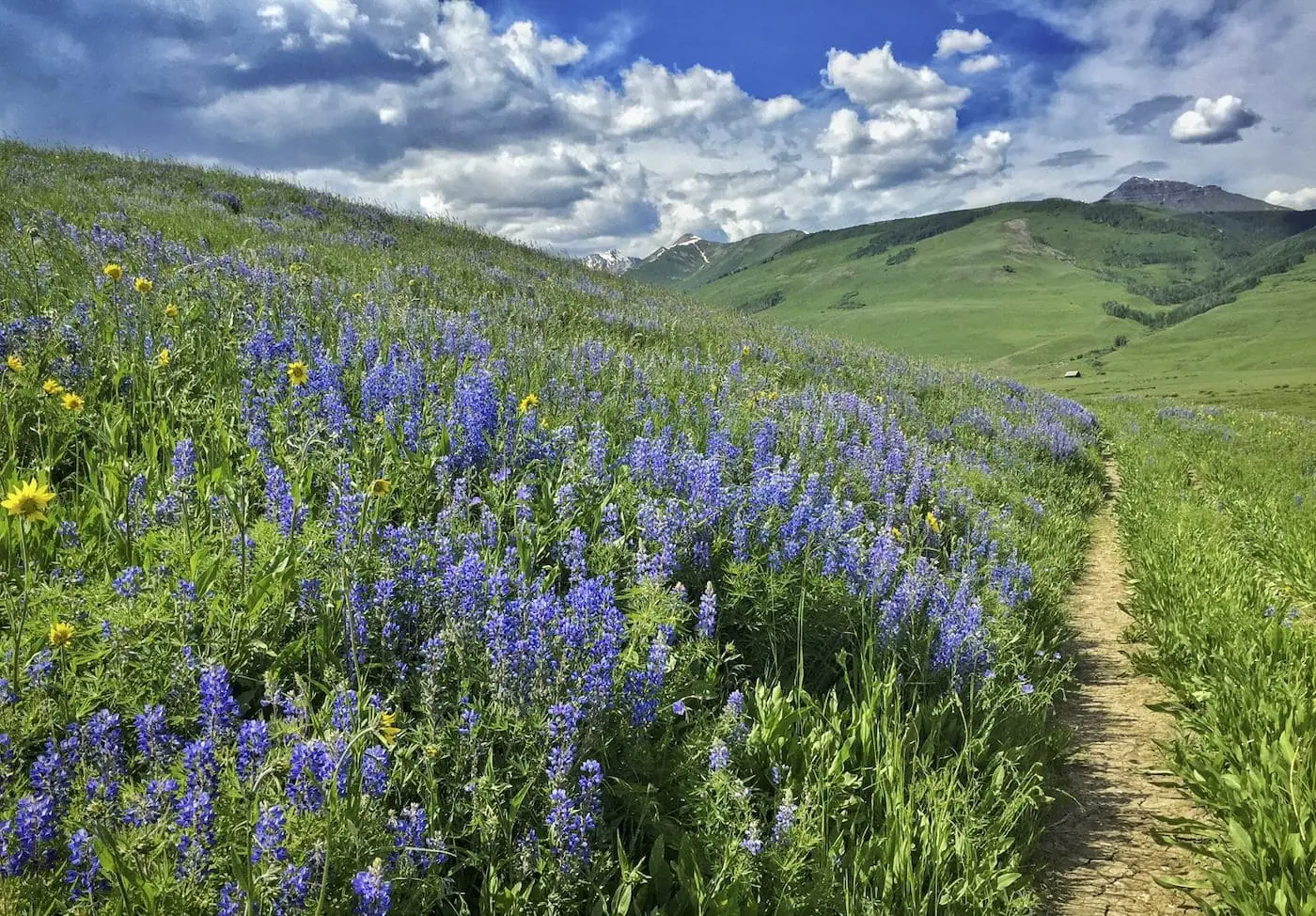
Do not pick, cut, or wade into them for the photograph. This valley is one of the best wildflower displays in Colorado precisely because generations of people walked past without helping themselves.
 Pack It All Out
Everything you carried in, plus the orange peel and the pistachio shells you assumed would rot. At this elevation they last years, and a marmot will find them long before they break down.
This trail and many others like it are maintained by the Crested Butte Conservation Corps. From picking up trash to trail maintenance to poop removal, they do it all and keep our backcountry pristine. Please help support them with a tax-deductible donation (501c3).

This Hike Is One of the 31
All 31 routes, walked and mapped by us. No battery, no bars, no problem.
Get the Book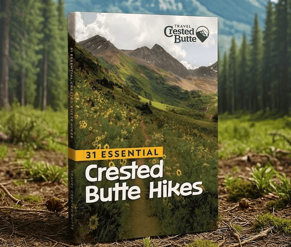
More Waterfalls
The valley keeps pouring. So can you.


Good Questions
How much elevation gain does Brush Creek have?
Just 315 feet across 4.29 miles round trip, with a high point of 9,134 feet. It is one of the gentlest trails in the valley, which is exactly the point.
How do I get to the Brush Creek trailhead?
Drive 2 miles south of Crested Butte on Highway 135, turn left on Brush Creek Road, which is County Road 738, and continue 1.9 miles as the pavement turns to dirt. The lot is on the left, and it is small, so mornings are your friend.
Is Brush Creek a good first hike at altitude?
Yes. It is close to town, nearly flat, and you can turn around at any point, which makes it the standard recommendation for day one of a trip. Bring sun protection, since shade is scarce.
Are bikes allowed on Brush Creek?
Yes. It is a friendly beginner ride, though most days you will meet more dogs than bikes. Riders yield to horses, hikers, and uphill traffic, and everyone skips it when muddy.
