

Judd Falls
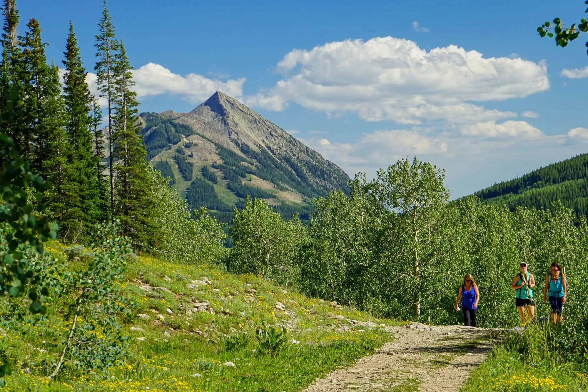
Judd Falls is close to Crested Butte and the gateway hike of Gothic Valley. It's a mellow mile from the upper trailhead to a waterfall overlook, with Gothic Mountain filling the sky most of the way.
The upper parking lot sits at the trailhead, but the road to reach it is rough. High clearance and trail-rated tires are highly recommended. The lower lot is easily accessible for any car and only adds a mile round trip, which is the version most should choose.
At the Trailhead
Rain Showers
Tap a day for the detailed forecast

Trailhead Info
Good to Know
Avg 4G Cell Signal
The bars refer to cell tower connectivity. Calls, maps and photos all need one. Newer phones can now text (no calls) over satellite automatically without cell towers, depending on your provider. You typically need an open view of the sky for it to work.The Route
Trail Directions
- From the lower Copper Creek lot, walk the wide 4WD road uphill through aspen forest. The upper lot at the half mile mark trims a mile off the round trip if your vehicle is up to it.
- At the signed junction, follow the Judd Falls trail onto narrower, rockier tread.
- Near the end, stay on the main trail where social paths branch off. The confusion is optional.
- The trail meets a wide dirt path at a junction. Turn right, and the waterfall viewing spot is just ahead by the stone bench. Do not climb the rocks near the falls: several people have fallen in recent years, with severe injuries, search and rescue callouts, and deaths among the results. The view from the bench is the one to take.
- Return the way you came, or continue up the wide road toward Copper Creek and Copper Lake if the legs agree.
Map and GPX
Base Map
Overlays
Cell Signal
Topo from USGS. Wilderness boundaries from the US Forest Service. Snow, temperature and rain are NOAA analyses and forecasts, one at a time. Cell coverage from FCC carrier filings.Take It With You
Cell service fades fast out here. Save the route before you lose the argument with your phone.
Free, and no account needed. Works in Gaia, CalTopo, onX, Garmin, and anything else that reads GPX.

Leave It Better
The locals have pitchforks. And camera phones.
And social media. Do not go viral.
 Leave the Flowers
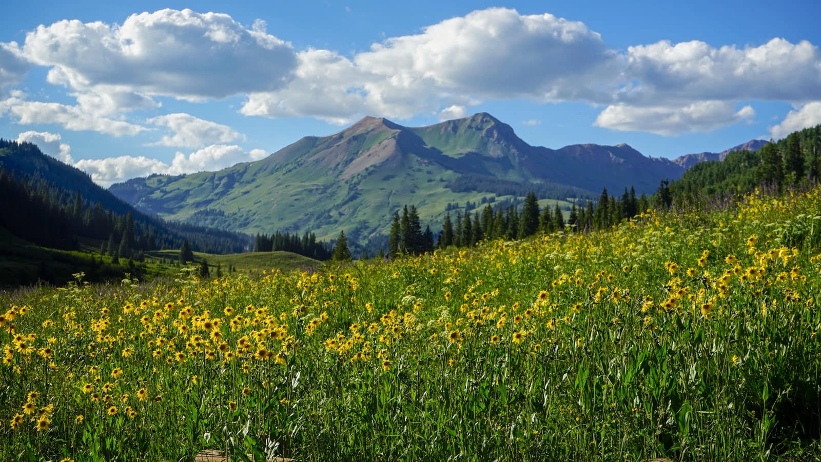
Do not pick, cut, or wade into them for the photograph. This valley is one of the best wildflower displays in Colorado precisely because generations of people walked past without helping themselves.
 Respect the Research
The meadows either side of this trail are active Rocky Mountain Biological Laboratory study plots, some of them running since the 1970s. A flagged stake or a length of fence is somebody's decades long dataset, so stay on the tread, leave the markers alone, and keep dogs from wandering into the plots.
 Pack It All Out
Everything you carried in, plus the orange peel and the pistachio shells you assumed would rot. At this elevation they last years, and a marmot will find them long before they break down.
This trail and many others like it are maintained by the Crested Butte Conservation Corps. From picking up trash to trail maintenance to poop removal, they do it all and keep our backcountry pristine. Please help support them with a tax-deductible donation (501c3).

This Hike Is One of the 31
All 31 routes, walked and mapped by us. No battery, no bars, no problem.
Get the Book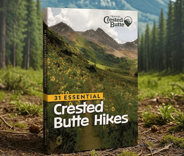
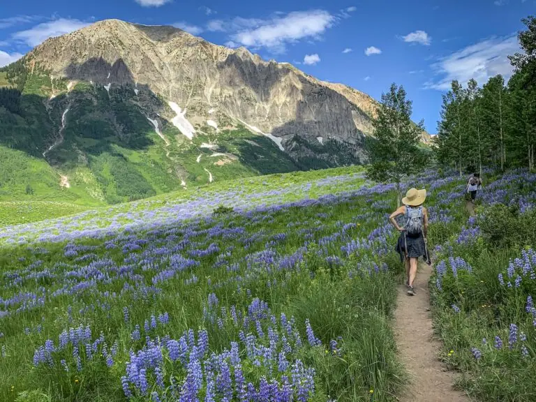
More Wildflower Walks
The bloom does not stop at this trailhead.


Good Questions
How hard is the hike to Judd Falls?
It is one of the easiest hikes in the area: about a mile each way from the upper lot with 166 feet of gain on a wide but rocky path. Add another mile round trip from the lower lot, which is where most passenger cars should stop.
How do I get to the Judd Falls trailhead?
From Crested Butte, take Gothic Road north past Mt. Crested Butte and descend into the East River Valley, 8.45 miles total, to the signed Copper Creek lot on the right just past the town of Gothic. An upper lot sits a half mile up the road and is best reached with an SUV.
What elevation is Judd Falls?
The overlook sits near 9,882 feet, with the trailhead at 9,824 feet, so the altitude does more of the work than the terrain. Pace yourself if you arrived from sea level this week.
Is Judd Falls good for kids?
Yes. The distance is short and the grade is mellow. Keep kids close at the overlook and off the rocks near the falls, where several people have been badly hurt falling in recent years.
