

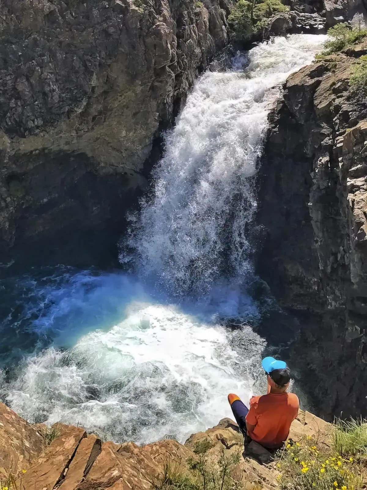
Devil’s Punchbowl
The Devil's Punchbowl is a long drive for a short walk, and worth both. A mile of rough road descends beside the South Fork Crystal River to a pair of waterfalls pouring into a pool cold enough to reset your nervous system. People jump the twenty foot drop; people also get hurt doing it, so we recommend the view.
At the Trailhead
Clear
Tap a day for the detailed forecast

Trailhead Info
Good to Know
Under Control
Under control is the Forest Service rule on most trails in this district: your dog comes back on the first call, every time, including around wildlife, horses, and other dogs. If that is a maybe, it is a leash day. Rangers can and do write tickets for it.Go early or late
Avg 4G Cell Signal
The bars refer to cell tower connectivity. Calls, maps and photos all need one. Newer phones can now text (no calls) over satellite automatically without cell towers, depending on your provider. You typically need an open view of the sky for it to work.The Route
Highlights
Along the Trail
Trail Directions
- Park at the area near the South Fork Crystal River and continue on foot. Do not drive past the parking area. People have died on the road beyond, and that is not a figure of speech.
- Walk the road as it descends alongside the river (3) (4) for about a mile, with some exposure and cliffs on the downhill side.
- The Punchbowl (5) is where the river pours through two falls into the pool. The drop is more than 20 feet, the water is snowmelt, and spectating is the recommended sport.
- Continue down the road toward the Historic Crystal Mill for more, or turn around. The 640 feet of gain are all waiting for you on the return.
Elevation Profile
Map and GPX
Base Map
Overlays
Cell Signal
Topo from USGS. Wilderness boundaries from the US Forest Service. Snow, temperature and rain are NOAA analyses and forecasts, one at a time. Cell coverage from FCC carrier filings.Take It With You
Cell service fades fast out here. Save the route before you lose the argument with your phone.
Free, and no account needed. Works in Gaia, CalTopo, onX, Garmin, and anything else that reads GPX.

Leave It Better
The locals have pitchforks. And camera phones.
And social media. Do not go viral.
 Share the Road
This is a working four wheel drive road, not a trail with a road name. Step aside for Jeeps and ATVs, give them a wave, and expect dust. On the blind corners, listen before you commit.
 Pack It All Out
Everything you carried in, plus the orange peel and the pistachio shells you assumed would rot. At this elevation they last years, and a marmot will find them long before they break down.
This trail and many others like it are maintained by the Crested Butte Conservation Corps. From picking up trash to trail maintenance to poop removal, they do it all and keep our backcountry pristine. Please help support them with a tax-deductible donation (501c3).

More Waterfalls
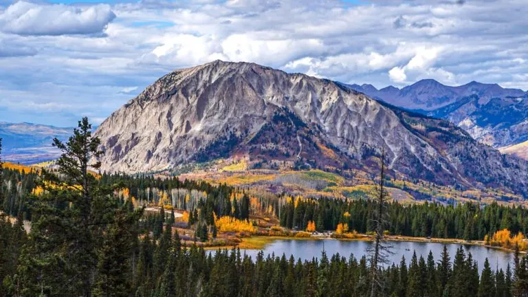
The valley keeps pouring. So can you.


Good Questions
How cold is the water at the Devil's Punchbowl?
Cold enough to matter. The pool is fed directly by snowmelt from the South Fork Crystal River and stays frigid all summer, cold enough to cause cold water shock. That is one of several reasons we recommend admiring the jump rather than taking it.
How do I get to the Devil's Punchbowl from Crested Butte?
Take Gothic Road north a total of 15.6 miles, past the ski resort, the old mining town of Gothic, Emerald Lake, and over Schofield Pass, to a parking area near the South Fork Crystal River. The last stretch is rough and an SUV is recommended. Do not drive past the parking area; the road beyond has been fatal.
How long is the Devil's Punchbowl hike?
About 2 miles round trip with 640 feet of elevation gain, all of it on the way back, since the route descends a rough 4WD road to the falls.
Is it safe to jump into the Devil's Punchbowl?
People do, from a drop of more than 20 feet, and people get hurt doing it. The drop is dangerous and the water is cold. We do not recommend it.
What elevation is the Devil's Punchbowl?
The parking area sits at 10,264 feet and the pool at about 9,624 feet. The thin air makes the walk back up more honest than the mileage suggests.
