
Long Lakeaka Meridian Lake
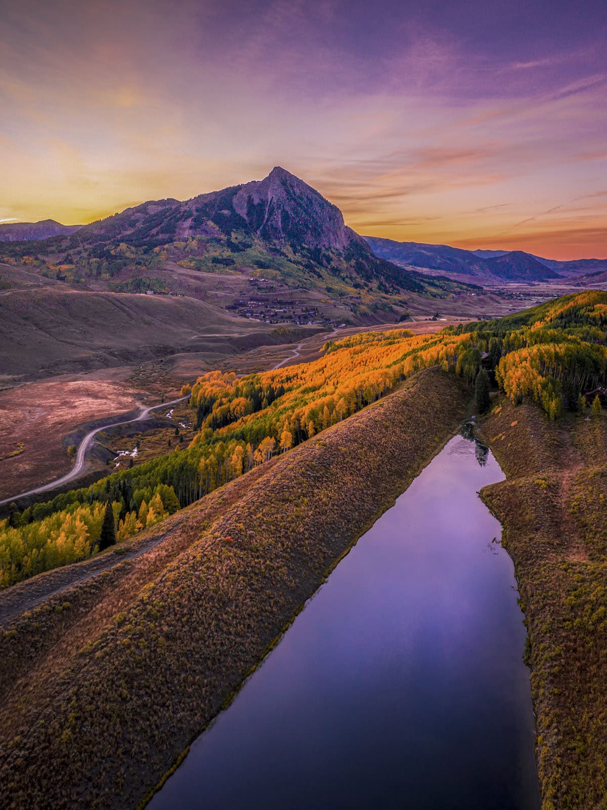
Long Lake sits a few minutes from town and makes one of the better swims around. The easy route follows an old road to the north end of the lake, then runs along the shore. The steep route gets there in a quarter mile, for anyone in a hurry to get wet. The water is warm enough in July, technically, and in fall the aspens across the lake turn the whole hillside gold.
At the Trailhead
Rain Showers
Tap a day for the detailed forecast


Trailhead Info
Easy Route
Trailhead Info
Steep Route
Good to Know
Under Control
Under control is the Forest Service rule on most trails in this district: your dog comes back on the first call, every time, including around wildlife, horses, and other dogs. If that is a maybe, it is a leash day. Rangers can and do write tickets for it.Avg 4G Cell Signal
The bars refer to cell tower connectivity. Calls, maps and photos all need one. Newer phones can now text (no calls) over satellite automatically without cell towers, depending on your provider. You typically need an open view of the sky for it to work.The Route
Easy Route
Highlights
Along the Trail
Steep Route
Highlights
Along the Trail
Easy RouteTrail Directions
- From the parking in front of the tennis courts on Washington Gulch Road, walk across the dam (1) and past the private lake on your right.
- Follow the road around to the left, head through the gate, and climb the gravel road (2) around one switchback, thick with wildflowers in summer.
- At the high view of Long Lake (3), go left for more views, flowers, and easy trail, or take a right for the steep descent to the wider beach with swim and boat access.
- Public access here crosses private ranch land and depends on people respecting it. Mind the signs and stay on the route.
Steep RouteTrail Directions
Short, steep, and direct. Wet feet possible at the creek when the plank is missing.
- From the dirt parking lot at the signed trailhead (1), follow the sign toward the creek. A narrow plank sometimes spans it; otherwise accept wet feet.
- Once across, follow the trail to the left of the deep gully (2) up into the trees. It is very steep and sometimes slippery (3), with conditions swinging on recent weather.
- At the lake, wander in either direction or head straight down to the water for a swim. Return the way you came, or loop around to the easy trail for the gentle way home.
Elevation Profile Easy Route
Elevation Profile Steep Route
Map and GPX
Base Map
Overlays
Cell Signal
Topo from USGS. Wilderness boundaries from the US Forest Service. Snow, temperature and rain are NOAA analyses and forecasts, one at a time. Cell coverage from FCC carrier filings.Take It With You
Cell service fades fast out here. Save the route before you lose the argument with your phone.
Free, and no account needed. Works in Gaia, CalTopo, onX, Garmin, and anything else that reads GPX.

Leave It Better
The locals have pitchforks. And camera phones.
And social media. Do not go viral.
 Leave the Flowers
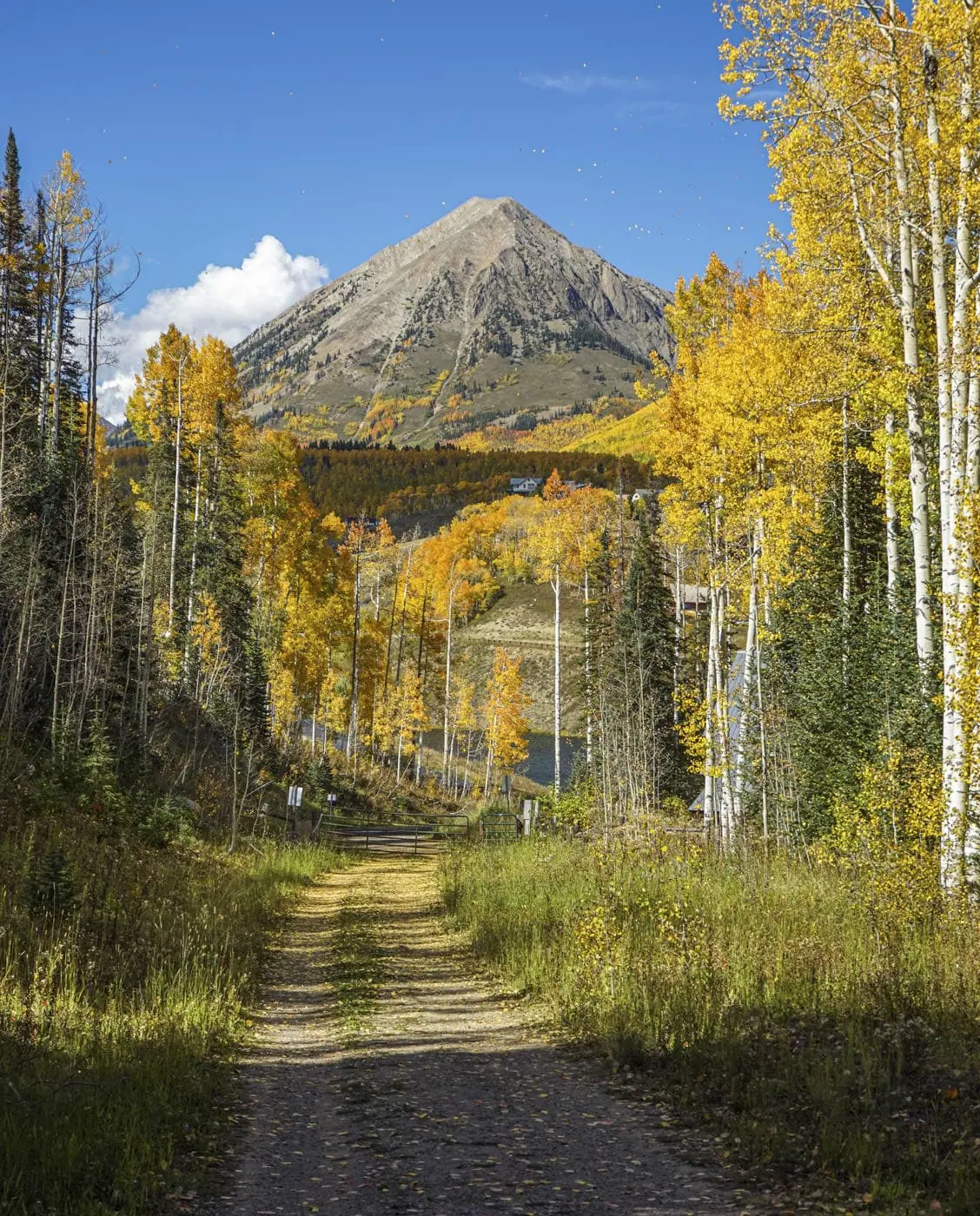
Do not pick, cut, or wade into them for the photograph. This valley is one of the best wildflower displays in Colorado precisely because generations of people walked past without helping themselves.
 Mind the Shoreline
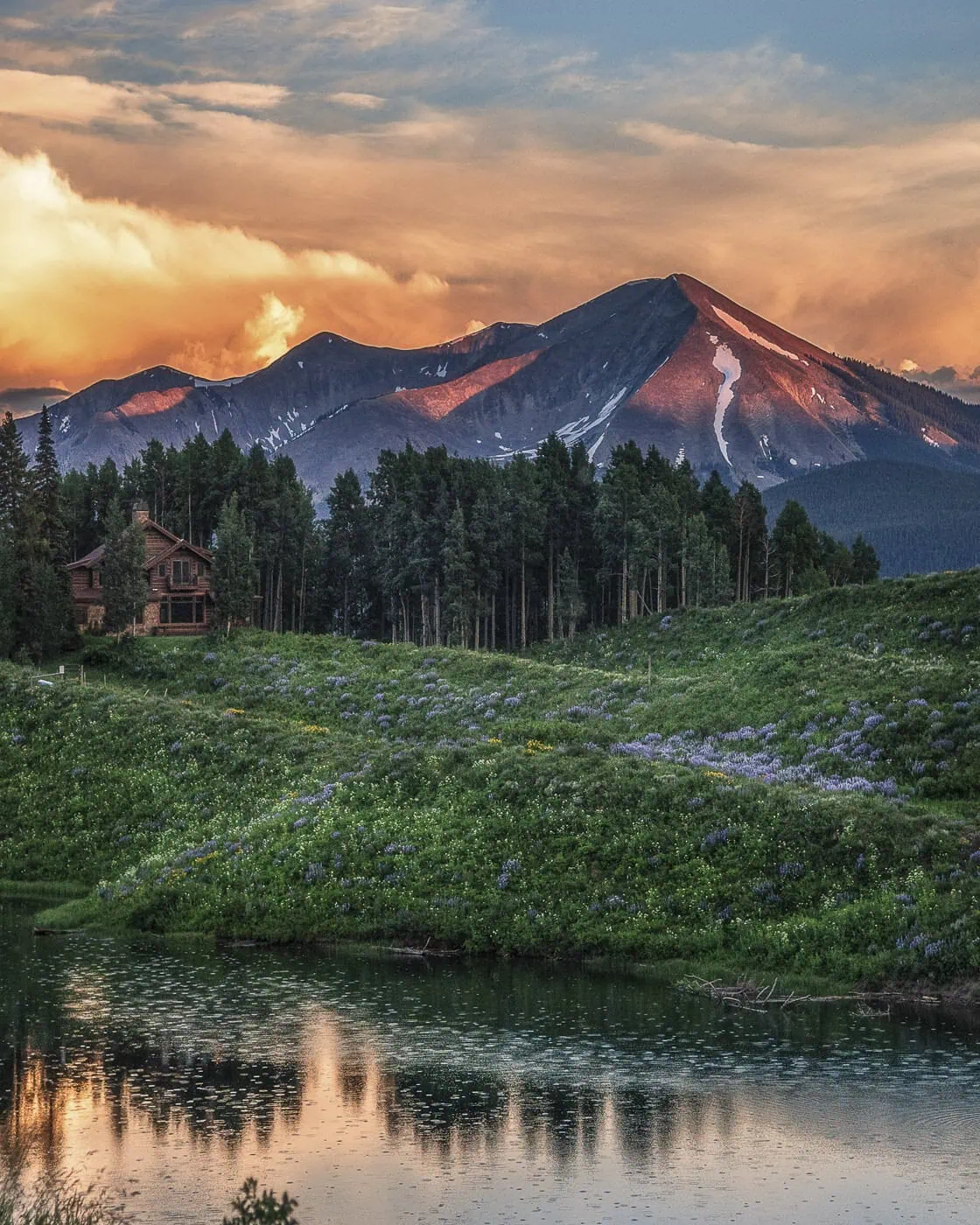
Bank vegetation holds the edge of an alpine lake together and it gives up under repeated boots. Launch and land where the ground is already bare, and keep lunch out of the willows.
 Pack It All Out
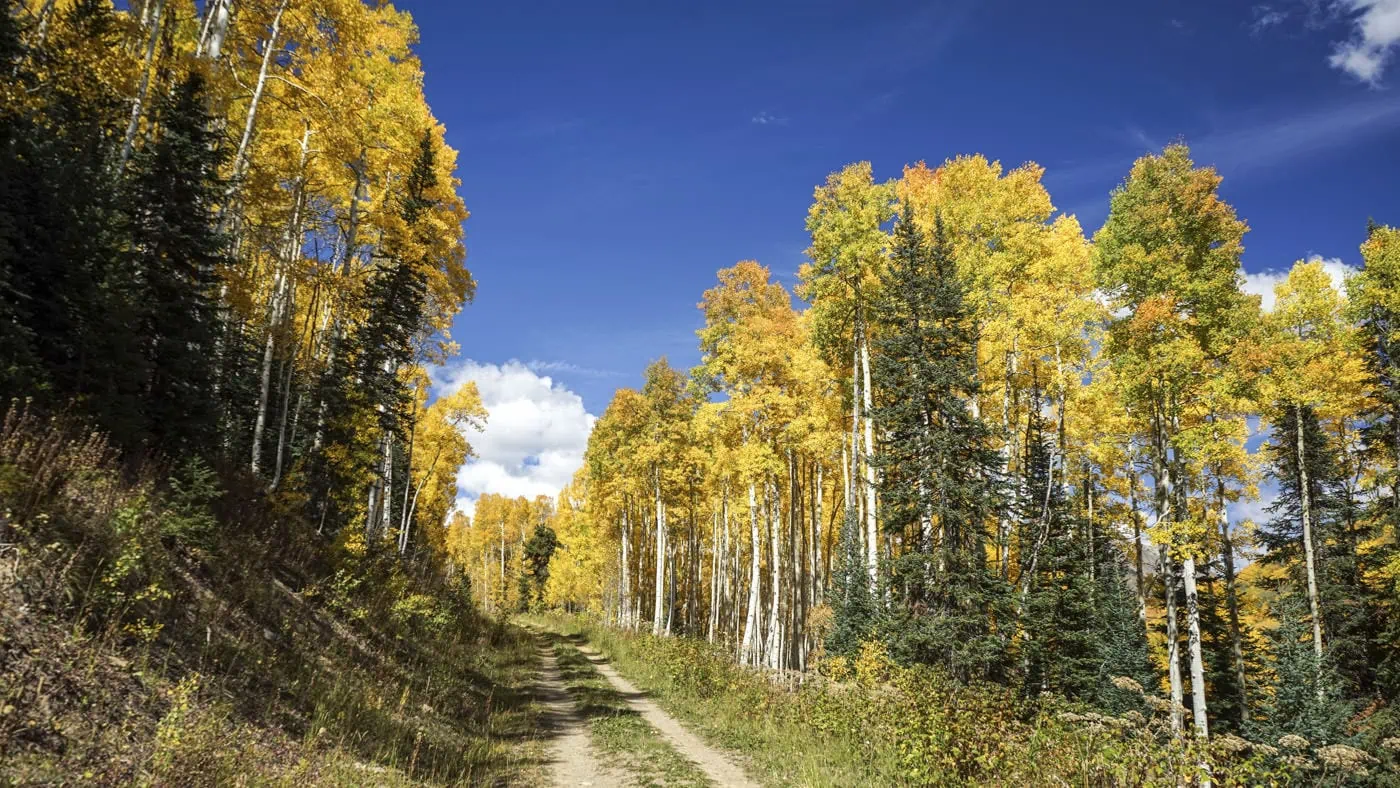
Everything you carried in, plus the orange peel and the pistachio shells you assumed would rot. At this elevation they last years, and a marmot will find them long before they break down.
This trail and many others like it are maintained by the Crested Butte Conservation Corps. From picking up trash to trail maintenance to poop removal, they do it all and keep our backcountry pristine. Please help support them with a tax-deductible donation (501c3).

This Hike Is One of the 31
All 31 routes, walked and mapped by us. No battery, no bars, no problem.
Get the Book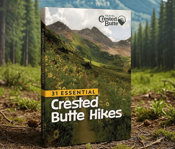
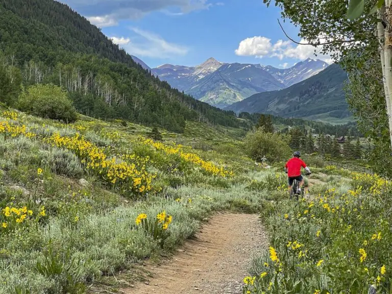
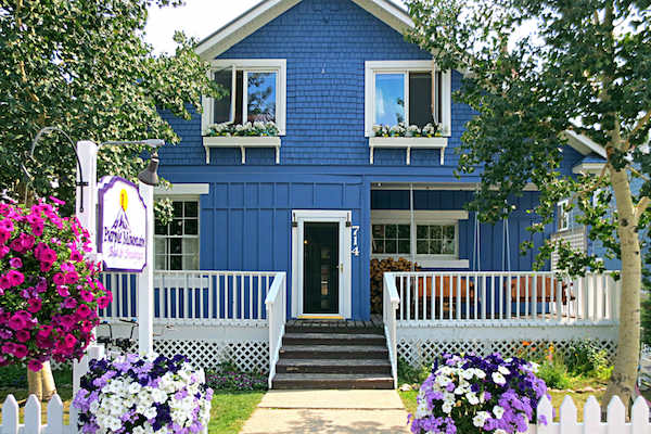
More Wildflower Walks
The bloom does not stop at this trailhead.


Good Questions
How long is the easy hike to Long Lake?
About 2.4 miles round trip with about 350 feet of gain, from a 9,432 foot start to a high point near 9,680 feet, mostly on a mellow gravel road. The steep route from the upper trailhead is a quarter mile each way and occasionally slippery.
How do I get to the Long Lake trailhead?
From town, take Gothic Road north 1.75 miles, turn left onto Washington Gulch Road, and drive 1.5 miles. Park in front of the tennis courts on the right for the easy route, or continue 0.9 miles to the signed trailhead and dirt lot on the left for the steep route.
Can you swim in Long Lake?
Yes, and on a hot July afternoon half the valley does. The wider beach on the far side has the best access for swimming and paddleboards. Be courteous of other lake users and stay on maintained trails around the shoreline.
Is Long Lake the same as Meridian Lake?
Yes. The long, narrow natural lake goes by both names, with Meridian Lake on most maps and Long Lake in most conversations. Either way, it is the local swimming hole.