
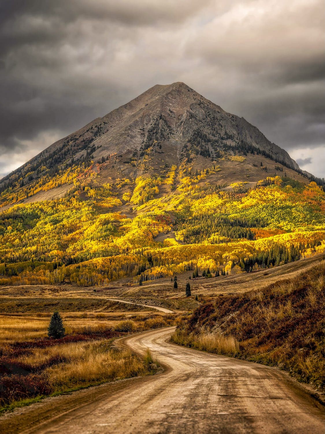
Gothic Mountainvia Trail 403
Gothic Mountain is one of our favorite climbs around Crested Butte and one of the hardest hikes in this guide. The approach on Trail 403 out of Washington Gulch shines in summer with wildflowers blanketing the surrounding hillsides.
Past the viewpoint it's nearly all steep ascending up the ridge with breathtaking panoramas. The summit tops out at 12,631 feet, with Mt. Crested Butte, the town and Gothic all in view below.
At the Trailhead
Showers, T-Storms
Tap a day for the detailed forecast


Trailhead Info
Good to Know
Under Control
Under control is the Forest Service rule on most trails in this district: your dog comes back on the first call, every time, including around wildlife, horses, and other dogs. If that is a maybe, it is a leash day. Rangers can and do write tickets for it.Avg 4G Cell Signal
The bars refer to cell tower connectivity. Calls, maps and photos all need one. Newer phones can now text (no calls) over satellite automatically without cell towers, depending on your provider. You typically need an open view of the sky for it to work.The Route
Highlights
Along the Trail
Trail Directions
- Drive past the old 403 trailhead (1), now closed, to the new trailhead a quarter mile up the road. Start on the well marked Trail 403 (2). It is a relatively easy start on a local favorite that sees plenty of mountain bikers in summer.
- Wildflowers line the path (3) as the trail switchbacks up the hillside (4). Views of Mt. Baldy open to the west before the trail swings east and meets the old 403.
- At the sign (5), a two minute detour leads to the old bench (6) and the best views of Washington Gulch.
- Continue on 403 to a trail junction and go right. A brief hike ahead is a second junction. Go left for the viewpoint (7), with panoramic views of Gothic Valley and the red triangle face of Avery Peak. This is the turnaround for the 403 to Viewpoint hike.
- For Gothic Mountain, continue downhill into the valley another 0.7 miles to a junction that is easy to miss (8). Take a right at the rock and log and head directly toward the mountain.
- The trail peters out over a marshy section (9) and reappears within a hundred feet. Continue uphill into the trees (10), with a few downed trees to climb over and under (11).
- Emerge from the woods where the trail gets much steeper (12). This is the main climb up the ridgeline, and it keeps steepening past treeline to the first false summit. Turn around now and then (13). The views are behind you.
- The second false summit is marked with a cross and is a good spot to catch your breath (14). The hardest is behind you. Follow the well defined trail down to the saddle and back up to the true summit, with Mt. Crested Butte (15), Gothic (16) and the town of Crested Butte below. Return the way you came.
Elevation Profile
Map and GPX
Base Map
Overlays
Cell Signal
Topo from USGS. Wilderness boundaries from the US Forest Service. Snow, temperature and rain are NOAA analyses and forecasts, one at a time. Cell coverage from FCC carrier filings.Take It With You
Cell service fades fast out here. Save the route before you lose the argument with your phone.
Free, and no account needed. Works in Gaia, CalTopo, onX, Garmin, and anything else that reads GPX.

Leave It Better
The locals have pitchforks. And camera phones.
And social media. Do not go viral.
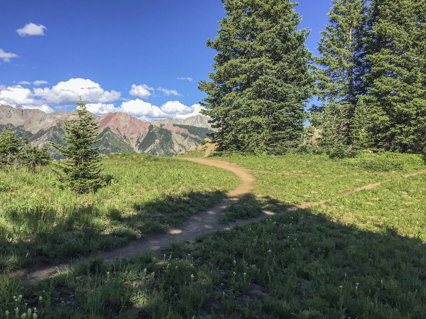 Do Not Feed the Wildlife
The marmots around the viewpoint have met hikers before and have opinions about trail mix. Keep your snacks to yourself and your pack zipped when you set it down. Human food makes wild animals sick and bold, and a bold marmot is a problem for whoever sits there next.
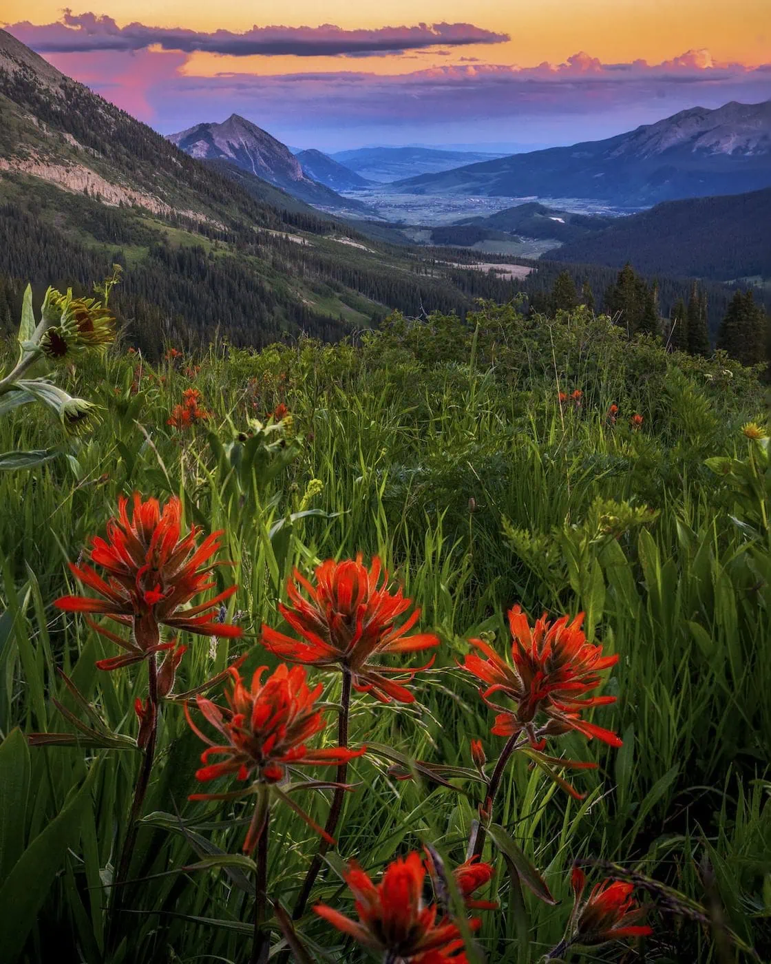 Leave the Flowers
Do not pick, cut, or wade into them for the photograph. This valley is one of the best wildflower displays in Colorado precisely because generations of people walked past without helping themselves.
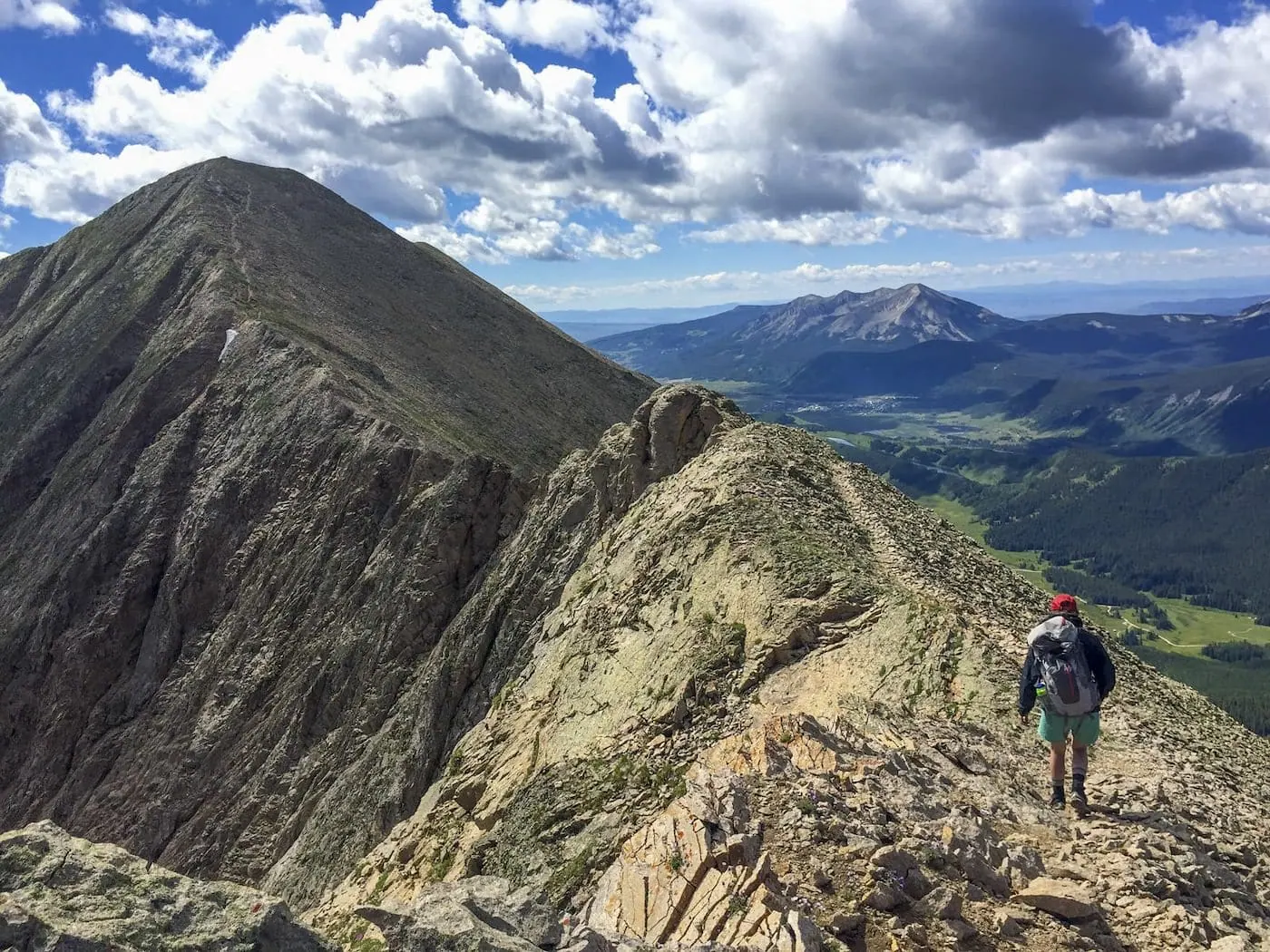 Pack It All Out
Everything you carried in, plus the orange peel and the pistachio shells you assumed would rot. At this elevation they last years, and a marmot will find them long before they break down.
This trail and many others like it are maintained by the Crested Butte Conservation Corps. From picking up trash to trail maintenance to poop removal, they do it all and keep our backcountry pristine. Please help support them with a tax-deductible donation (501c3).

This Hike Is One of the 31
All 31 routes, walked and mapped by us. No battery, no bars, no problem.
Get the Book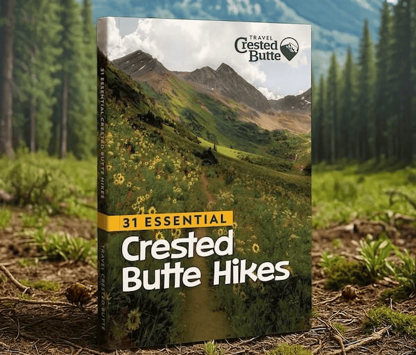
More Summits
Different tops, same thin air.


Good Questions
How hard is the Gothic Mountain hike?
Extreme: 7.4 miles round trip with about 2,875 feet of gain counting the climbs on the way back to a 12,631 foot summit, with very steep sustained climbing past treeline and two false summits before the real one. Strong hikers budget 5 to 7 hours.
How do I get to the Gothic Mountain trailhead?
Take Gothic Road north 1.75 miles to Washington Gulch Road, turn left, and drive 7.75 miles up the gulch past the old town site of Elkton. A tight hairpin just before the rainbow rail can be difficult for low clearance vehicles. The old parking area is closed; continue a quarter mile past it to the new trailhead and parking, the same start as the 403.
Is Gothic Mountain the same as the town of Gothic?
The mountain looms directly over the Gothic townsite and its research station in the East River Valley, but the climb starts from the other side, in Washington Gulch. Same name, different valley for your vehicle.
When is the best time to climb Gothic Mountain?
Midsummer, and fall before the first snow. Midsummer is for wildflowers, which line the approach on Trail 403. Fall trades them for foliage, on the drive up Washington Gulch and spread out below you from the summit, plus a lower risk of thunderstorms. Either way, start early. The route spends a long time above treeline, and afternoon storms treat exposed ridges as targets.