
Crystal Millvia Devil’s Punchbowl
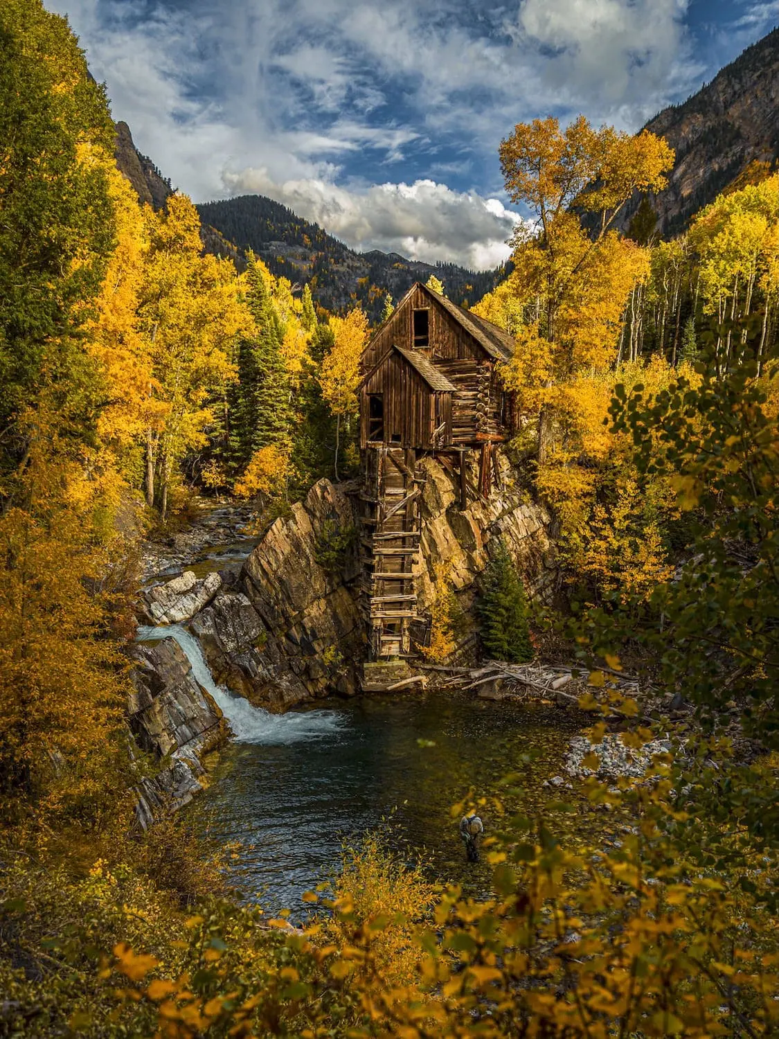
The Crystal Mill might be the most photographed building in Colorado, and the Crested Butte approach makes it even more worthwhile. This route starts over Schofield Pass and takes you past the infamous Devil's Punchbowl, down the South Fork Crystal River to the ghost town of Crystal. It's a long drive and a rocky walk to see one wooden powerhouse on a cliff, and everyone who does it seems to think it was rewarding.
At the Trailhead
Rain And Snow Showers
Tap a day for the detailed forecast

Trailhead Info
Good to Know
Under Control
Under control is the Forest Service rule on most trails in this district: your dog comes back on the first call, every time, including around wildlife, horses, and other dogs. If that is a maybe, it is a leash day. Rangers can and do write tickets for it.Go early or late
Avg 4G Cell Signal
The bars refer to cell tower connectivity. Calls, maps and photos all need one. Newer phones can now text (no calls) over satellite automatically without cell towers, depending on your provider. You typically need an open view of the sky for it to work.The Route
Highlights
Along the Trail
Trail Directions
- The trail is the road, an extremely rough four wheel drive route that starts from the parking area and quickly passes the first waterfall of the trip (3).
- Cross over and follow the South Fork Crystal River (4) for about a mile. The road descends the whole way, with some exposure and cliffs.
- It is only a mile to the Devil's Punchbowl (5). This is the turnaround for the short version.
- Cross the South Fork Crystal River (6) and continue another 2 miles along the road to the junction with Lead King Basin. Stay left.
- Another 0.4 miles brings you to the townsite of Crystal, and 0.2 miles past that, the Crystal Mill (7). For 10 dollars and a signed waiver, Crystal Mountain Ranch lets you photograph it from the water's edge.
- Turn around. Every foot of elevation you gave away on the way down is now owed, so leave time and water for the climb out.
Elevation Profile
Map and GPX
Base Map
Overlays
Cell Signal
Topo from USGS. Wilderness boundaries from the US Forest Service. Snow, temperature and rain are NOAA analyses and forecasts, one at a time. Cell coverage from FCC carrier filings.Take It With You
Cell service fades fast out here. Save the route before you lose the argument with your phone.
Free, and no account needed. Works in Gaia, CalTopo, onX, Garmin, and anything else that reads GPX.

Leave It Better
The locals have pitchforks. And camera phones.
And social media. Do not go viral.
 Share the Road
This is a working four wheel drive road, not a trail with a road name. Step aside for Jeeps and ATVs, give them a wave, and expect dust. On the blind corners, listen before you commit.
 Leave the Relics
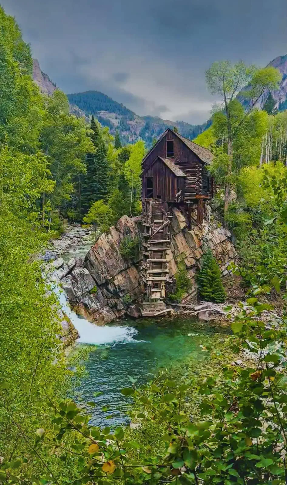
The rusted cable, the sagging cabin, the square nails: they have held out up here for a century and they are protected by law. Photograph them, poke around gently, and leave every piece where the miners dropped it. A pocketed souvenir is a story nobody else gets to find.
 Pack It All Out
Everything you carried in, plus the orange peel and the pistachio shells you assumed would rot. At this elevation they last years, and a marmot will find them long before they break down.
This trail and many others like it are maintained by the Crested Butte Conservation Corps. From picking up trash to trail maintenance to poop removal, they do it all and keep our backcountry pristine. Please help support them with a tax-deductible donation (501c3).

More Waterfalls
The valley keeps pouring. So can you.


Good Questions
How far is the hike to the Crystal Mill from Crested Butte?
About 7 miles round trip with 1,365 feet of elevation gain, nearly all of it on the return, since the route descends a rough 4WD road from the parking area near the South Fork Crystal River to the townsite of Crystal.
How do I get to the Crystal Mill trailhead from Crested Butte?
Take Gothic Road north a total of 15.6 miles, past the ski resort, Gothic, Emerald Lake, and over Schofield Pass to the parking area near the South Fork Crystal River. An SUV is recommended, and do not drive past the parking area; the road beyond has been fatal. An alternate route over Paradise Divide via Slate River Road or Washington Gulch Road is rougher still.
Can you drive to the Crystal Mill from Crested Butte?
Technically yes, with a purpose built off road vehicle and a driver who knows it. Not with a regular SUV or passenger vehicle, and not without putting yourself and the vehicle at risk of damage, serious injury, or death. From the Crested Butte side, park at the lot and walk. Vehicle access to the mill is traditionally from the Marble side.
How much does it cost to visit the Crystal Mill?
Seeing the mill from the road costs nothing. For 10 dollars and a signed waiver, Crystal Mountain Ranch allows access down to the water's edge, which is where the famous photo angle lives.
Is there a shorter version of the hike?
Yes. The Devil's Punchbowl is a mile down the road, so turning around there makes a 2 mile out and back with about 500 feet of climbing on the way back. The falls and the pool are the payoff; the mill is another 2.2 miles beyond.
Can I swim in the Devil's Punchbowl?
Yes, you can swim. People get hurt jumping in from above. The drop is dangerous and the water is snowmelt cold.