Crested Butte Mountain Biking: Teocalli Ridge Trail
Teocalli Trail was closed for three years until summer of 2014. The trail needed some work with drainage issues, ruts, and tight switchbacks. With it being complete, locals and visitors can tackle one of the most fun trails in the Crested Butte area again. The trail is made up of one long sustained road climb, then a steep and difficult singletrack climb, some stunning views, and one EPIC descent.

| Highlights: | Difficult singletrack climbs, beautiful views and one unforgettable descent |
| Difficulty: | Intermediate/Advanced |
| Length: | 17.4 |
| Elevation Gain: | 2,611 feet |
| Max Elevation: | 11,266 feet |
| Trailhead Elevation: | 8,928 feet |
Click photos to view gallery


Directions
The Teocalli Trail is located up Brush Creek Road. Some ride this trail from town, others will park at the Brush Creek trailhead and a few folks will shuttle it. If you ride this route from town, you can access Brush Creek Road from the Deli Trail/Path, Whetstone Vista and the Upper Upper Trail. With so many options, you can always take a different trail on your way back. If you choose to drive to the trail head, hop on HWY 135 to the Skyland neighborhood entrance, which is Brush Creek Road (FSR738). From here you will continue on the road for 2.5 miles where you will see Brush Creek trailhead and parking lot on your left.
Route
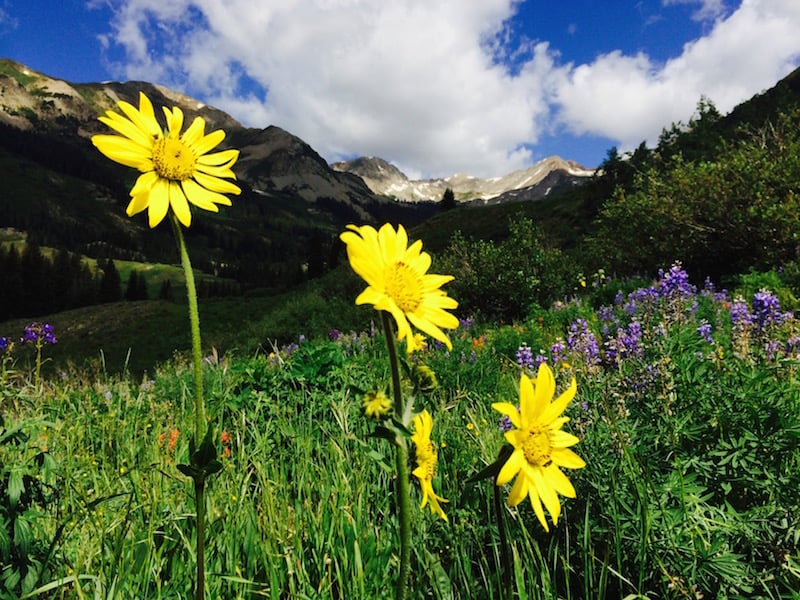
From the trailhead, ride 3 miles to your first road junction. Take a left here and head up FS Road 738.2A. You will quickly take on a steep climb before your 2nd intersection. Follow the signs right towards Teocalli Mountain Trail. Climb 3.3 miles up the valley to the start of the Teocalli Mountain Trail. This is where you would drop off the riders if shuttling the trail. Continue on singletrack from here, climbing a short, but very steep section of trail until you get to another junction. Take a right onto Teocalli Ridge Trail,which will climb and traverse the southern portion of Teocalli Mountain. Stunning wildflowers and views make this section picture-worthy.
After additional steep singletrack climbing, enter a forest where you will run into a trail intersection. The more primitive trail will lead to the summit trail of Teocalli Mountain. Continue right on the Teocalli Ridge Trail riding through a tunnel of pines before a steep hike-a-bike section. Once you make it to the top, the ridge will open up a bit giving you stunning views to your east and west.
The trail will quickly start to descend down the ridge and will continue to do so for 3.5 miles. The descent will start straight, giving you the ability to ease off the brakes, but roots and rocks will stand in your way. Eventually you will make it to the switchbacks, where the first one creeps up on you with little room for error (take note!). This section was where the forest service did a bunch of work, making the trail more manageable. After a few switchbacks in the trees, the trail will open up to a steep straightway before flatting out and meandering down to Pearl Pass Road. Continue right on Pearl Pass Road for 1.3 miles where you will hit the first intersection with FS Road 738.2A. Continue on the road back to the Brush Creek Trailhead parking lot.
Notes
There are a few river crossings that you will have to deal with, some may be high in the early part of the summer. When the Forest Service opened the trail back up, they decided to restrict uphill traffic (no dirt bikes). While they may not be allowed, there were some people seen doing it last year. Please be aware of this added obstacle. Teocalli Trail is another ride you can do from town or shuttle it. There are also other trail options that can bring you back to the Brush Creek Trailhead, such as Death Pass, Strand Bonus, and the Canal Trail.